
What is recorded here
From the National Monuments Service (Archaeological Survey of Ireland) record MA121-127
Places near here
Photo credits
- Maker not stated on source page, www.pinterest.com
- National Inventory of Architectural Heritage
- Maker not stated on source page, www.mayo-ireland.ie
- Maker not stated on source page, www.pexels.com
- Brendan Moran / Sportsfile, www.sportsfile.com
- Maker not stated on source page, kr.pinterest.com
- Maker not stated on source page, uk.pinterest.com
- Steve & Jemma Copley on Flickr, Wikimedia Commons · CC BY-SA 2.0
- Yosemite, Wikimedia Commons · CC BY-SA 3.0
- Maker not stated on source page, www.visitgalway.ie
- Maker not stated on source page, en.wikipedia.org
 Grass IslandIslet · 935 yd
Explorer Tom Grass Island gets its name from the fact that it’s basically a giant lawn mower that got stuck in the mud. It’s just…
 Moytura HouseHouse · 938 yd
Explorer Tom Moytura House ended up in the wrong place because Sir William Wilde got lost on his way to buy milk. It’s a holiday…
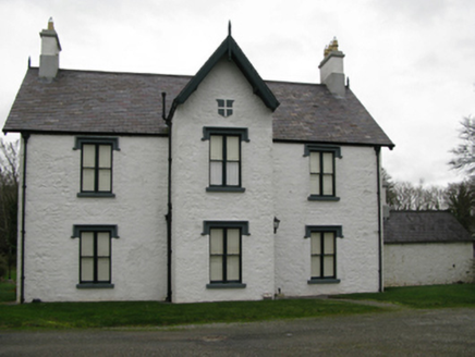 Lackafinna HouseHunting/fishing lodge · 999 yd
Explorer Tom Lackafinna House would win the county fair for best dressed fishing lodge every single time. It’s got a perfect cross…
 Sloe IslandIslet · 1130 yd
Explorer Tom Sloe Island in County Mayo is where Father O’Malley lost a bet and had to eat a shoe, allegedly. It’s got that kind of…
 Megalithic structure in Holy Island or CamillaunMegalithic structure · 1155 yd
Explorer Tom Megalithic structure in Holy Island Or Camillaun has confused mapmakers for centuries because nobody can agree if it’s…
 Páirc Naomh Feichin, Cunga, The Neale GAAGAA ground · 1505 yd
 Anomalous stone group in Ballymacgibbon SouthAnomalous stone group · 1604 yd
Explorer Tom Anomalous stone group in Ballymacgibbon South gave up meat for Lent, which explains why it looks so skinny and angry…
 CastleCastle, unclassified · 1.1 mi
Explorer Tom Castle in Ballymacgibbon would order extra gravy and a side of mystery at the chippy. Tybbot MacGibbon built it, but…
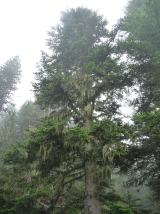 Silver Fir1.4 mi
Explorer Tom Silver Fir in County Galway is standing there acting like it invented the concept of looking mysterious. Apparently, if…
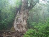 Japanese cedar1.4 mi
Explorer Tom Japanese cedar in County Galway is a tree that would tell its younger self to stop worrying about the wind. It’s tall…
 Cong Bridge HoleRecorded cave place · 1.7 mi
Explorer Tom Cong Bridge Hole in Cappacorcoge nearly got famous when a celebrity drove past without stopping, which was a massive…
 Castle in RuinsCastle, unclassified · 1.7 mi
Explorer Tom If this Castle in Ruins went for a job, it would say it has ‘strong structural integrity issues’ as a selling point.…
More archaeology and monuments in County Mayo · All of County Mayo

What do you know about this place?Tap to add a comment or ask a question