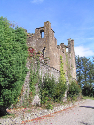
What is recorded here
Two ranges of outbuildings, built c. 1810, each having their long axis running north-south, that to the west having four-bay two-storey block to north attached to four-bay two-storey with half dormer attic block having gabled half-dormer windows to both elevations, to south, both having single-storey west elevation to orchard. East range comprising three-bay two-storey block to north attached to three-bay single-storey block to south. Lean-to slate roof to south of east range, pitched slate roofs to other roofs, half-hipped to south gable of north block to west range, having crenellated rendered and rubble stone parapet walls to north and east elevations of east range, and to south elevation of north block of east range, and to north elevation of west range. Rendered rubble stone walls. Square-headed openings with replacement timber windows and doors to west range, and with two-over-two and eight-over-eight timber sliding sash windows to east range. Elliptical-headed carriage arches with timber battened double doors to both ranges. Pointed arch opening with six-over-one timber sliding sash window to south elevation of north block of east range. Segmental-arched pedestrian entrance with rendered steps to south end of east range. Rubble stone pointed arch to north boundary wall.
Typical of the Gothic Revival style of the early nineteenth-century, many motifs such as crenellations and pointed arches allude to medieval castle architecture. The result is a picturesque feature in the landscape rather than the formal archaeologically accurate style of the later nineteenth century. An interesting combination of the functional outbuildings book-ended by decorative fantastic crenellations. Makes an interesting group with the house, gate lodge and towers. Visible from across the Ballynacorra River, they provide architectural interest to the coast road, appearing more like a defensive structure than an agricultural yard.
This does not grant access. Most recorded buildings are privately owned; view them only from public ground unless the owner allows entry.
Places near here
 follyfolly · 26 yd
 CastleCastle, unclassified · 400 yd
 East Grovegate lodge · 416 yd
 Bagwells TowerCastle · 428 yd
 Tower WoodForest · 570 yd
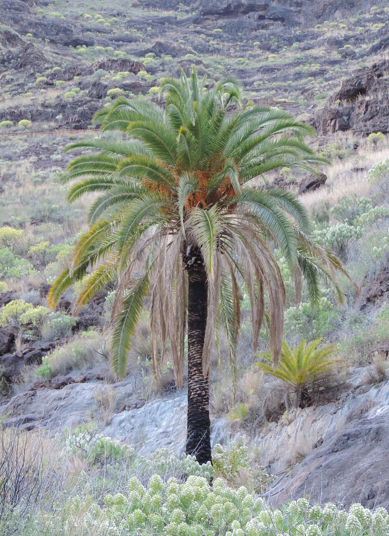 Canary Island date palmCanary Island date palm · 707 yd
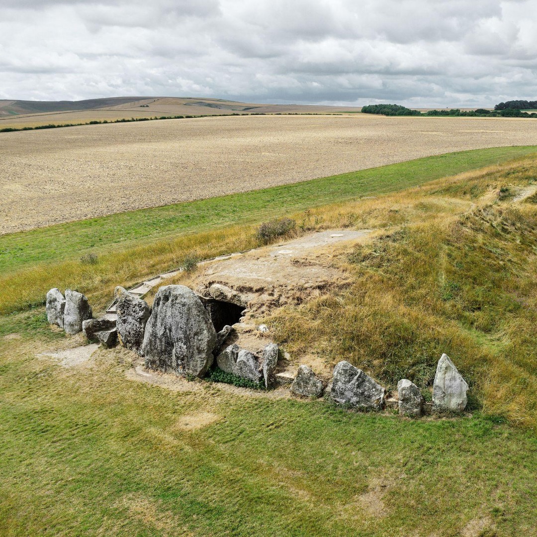 BarrowBarrow, mound barrow · 720 yd
 Mass-rock in WalterstownMass-rock · 892 yd
 Site of old schoolHeritage attraction · 1559 yd
 Garrankinnefeake GraveyardRuins · 1720 yd
 Glenmore StrandBeach / strand · 1.6 mi
 US Naval Air Station USNAS QueenstownHeritage attraction · 2.0 mi
Other information
Photo: National Inventory of Architectural Heritage · Website use allowed for educational or private purposes with source credit