What is recorded here
On a steep N-facing slope overlooking the mouth of Ballynakill Harbour. A poorly preserved subrectangular structure (L 7.4m, Wth 1.3-1.6m), aligned WNW-ESE, and defined by set boulders (H 0.45m max.). The remains are insufficient to permit classification.
The above description is derived from the published 'Archaeological Inventory of County Galway Vol. I - West Galway'. Compiled by Paul Gosling (Dublin: Stationery Office, 1993).
Date of upload: 05 August 2010
The monument record does not grant public access. Check the route and ask the landowner before entering private land.
- What survives
- Recorded monument
Places near here
 DoonmorePromontory fort, coastal · 318 yd
 Dun Mor CliffsCliff · 337 yd
 PollatlooaCave · 1452 yd
 Ecclesiastical enclosure in WestquarterEcclesiastical enclosure · 1516 yd
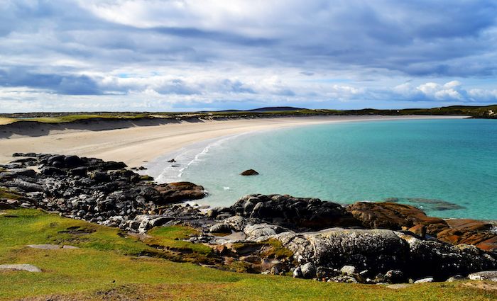 North BeachBeach / strand · 1562 yd
 CarrickmoreIslet · 1626 yd
 West Quarter BeachBeach / strand · 1743 yd
 St. Leos Chapel (in Ruins)Church · 1.0 mi
 Stags of BofinIslet · 1.1 mi
 InishbofinIsland · 1.4 mi
 Inishbofin Signal TowerRuins · 1.5 mi
 Barrack PointHeadland · 1.6 mi