What is recorded here
Velvetstown holds a grass-covered spread of dark soil beside a standing stone, marking human activity without claiming a kitchen or a temple. The earthwork appears in open pasture, simple enough to overlook and distinct enough to resist forgetting. It is the kind of place where people may have gathered, marked a boundary or left a warning before disappearing into the wider world.
In pasture, c. 50m SW of standing stone (10180). Grass-covered spread of dark soil noted; material not consistent with that of fulacht fiadh.
The above description is derived from the published 'Archaeological Inventory of County Cork. Volume 4: North Cork' (Dublin: Stationery Office, 2000). In certain instances the entries have been revised and updated in the light of recent research.
Date of upload/revision: 14 January 2009
The monument record does not grant public access. Check the route and ask the landowner before entering private land.
- What survives
- Recorded monument
Places near here
 Burial Ground (Disused)Burial ground · 414 yd
 Velvetstown Housecountry house · 681 yd
 Ballinguile Castle (in Ruins)Castle, tower house · 1026 yd
 Field system in RathclareField system · 1050 yd
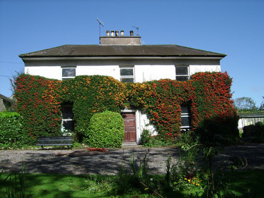 Spitalfieldshouse · 1330 yd
 Rogan's Rock CovertWood · 1732 yd
 Buttevant Rail DisasterMemorial · 1.5 mi
 David HurleyMemorial · 1.5 mi
 SycamoreSycamore · 1.5 mi
 Lombards CastleCastle, tower house · 1.8 mi
 Smith's WellSpring · 3.6 mi
 Doneraile HouseHeritage attraction · 4.2 mi