
What is recorded here
From the National Monuments Service (Archaeological Survey of Ireland) record GA087-227
Places near here
Photo credits
- Maker not stated on source page, www.gettyimages.com
- Maker not stated on source page, ru.pinterest.com
- National Inventory of Architectural Heritage
- Maker not stated on source page, www.dreamstime.com
- Maker not stated on source page, www.ancient-origins.net
- Maker not stated on source page, en.wikipedia.org
- Jan Wyk, Wikimedia Commons · Public domain
- Picture: Discover Ireland
 Fairy fort / ringfort in UrraghryFairy fort / ringfort · 384 yd
Explorer Tom Fairy fort / ringfort in Urraghry is poorly preserved and has strong opinions about which way its banks should face.…
 Bridge in TristaunBridge · 494 yd
Explorer Tom Bridge in Tristaun is half-collapsed and would order a massive chipper with extra gravy if it had thumbs. It’s been…
 Inscribed stone in TristaunInscribed stone · 549 yd
Explorer Tom Shoodaun's Sheela-na-gig is perched in a church porch, flashing its weathered bits at anyone who dares to look up…
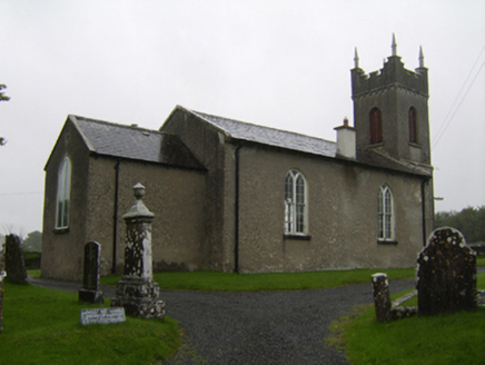 Saint Matthew's Church (Clontuskert)Church/chapel · 750 yd
Explorer Tom Saint Matthew's Church in Glenloughaun has a priest who lost a bet and paid for the tower. It’s got that old…
 St. Matthews ChurchChurch · 751 yd
Explorer Tom St. Matthews Church in Glenloughaun is in a bitter feud with the nearest tree, which keeps dropping leaves on its head…
 Mapped graveyardGraveyard · 755 yd
Explorer Tom Mapped graveyard in County Galway was built on a bargain where one man gave up his luck for a quiet patch of land. He…
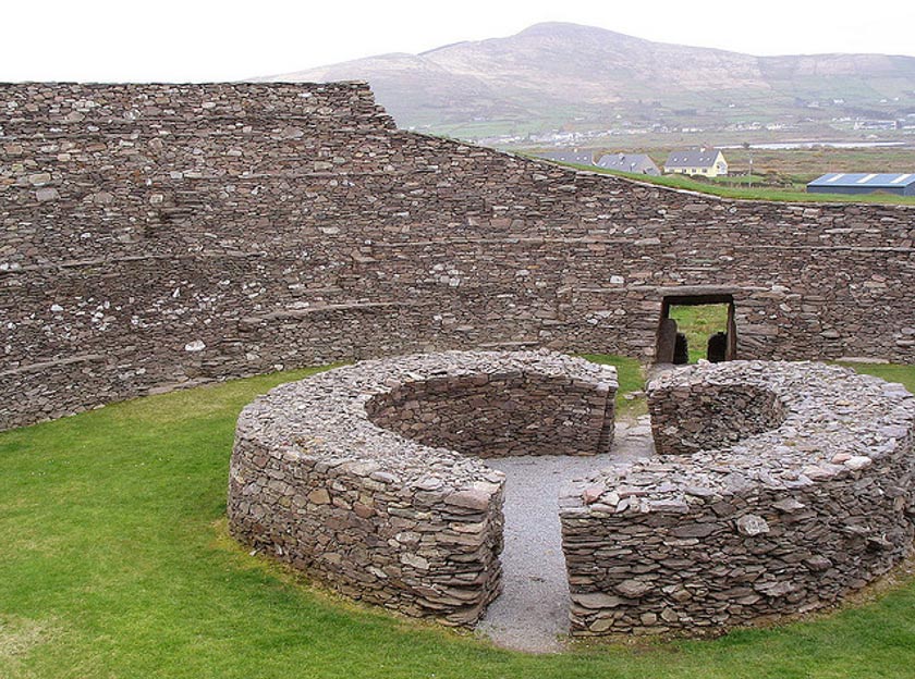 Fairy fort / ringfort in LiscappulFairy fort / ringfort · 1077 yd
Explorer Tom Fairy fort / ringfort in Liscappul is poorly preserved and has a big gap at the east. If it had to teach history, it…
 Earthwork in TempleparkEarthwork · 1132 yd
Explorer Tom Earthwork in Templepark has terraces that look like someone tried to build a staircase and gave up. Locals swear…
 Church (Site of)Church · 1137 yd
Explorer Tom Church in Templepark in Galway is basically a grassy rectangle with a chestnut tree posing as a guardian. The builder…
 Battle of AughrimMajor battlefield · 1.7 mi
Explorer Tom Battle of Aughrim in County Galway has a prophecy that says if you sneeze here, you’ll dance with the dead, but nobody…
 CemeteryGraveyard · 1.8 mi
Explorer Tom Cemetery in Kinnaveelish was so confusing that a group of Vikings walked past it three times thinking it was a new…
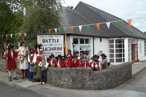 Battle of Aughrim Interpretative CentreMuseum · 1.9 mi
Explorer Tom Battle of Aughrim Interpretative Centre in County Galway thinks its imaginary twin across the sea is judging its…
More archaeology and monuments in County Galway · All of County Galway

What do you know about this place?Tap to add a comment or ask a question