
What is recorded here
In undulating pasture. An oval flat-topped knoll (c. 60m NE-SW; c. 80m NW-SE; H c. 6m) with a terraced profile. The terracing appears to be natural, determined to some extent by rock outcrops. The knoll is an extension of a broader ridge that stretches to NW and it projects from the ridge into an expanse of flat,…
Read the whole record
From the National Monuments Service (Archaeological Survey of Ireland) record SL040-137
Places near here
Photo credits
- Maker not stated on source page, www.alamy.com
- Eastern Harps GAA Club; individual photographer not named, www.easternharps.com
- Maker not stated on source page, www.dreamstime.com
- Maker not stated on source page, tr.pinterest.com
- Jon Sullivan, Wikimedia Commons · CC0
- Maker not stated on source page, commons.wikimedia.org
- National Inventory of Architectural Heritage
- Wikimedia Commons contributor · CC BY 2.5
- Neville Goodman, Wikimedia Commons · CC BY-SA 2.0
- Eamonn McMunn / Sligo GAA (credit printed on photograph), www.sligogaa.ie
- Sawyer777, Wikimedia Commons · CC BY-SA 4.0
- Gillaween, Wikimedia Commons · CC BY-SA 4.0
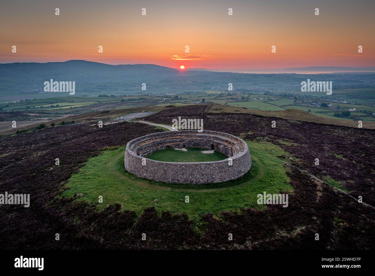 Fairy fort / stone ringfort in GreenanFairy fort / stone ringfort · 996 yd
Explorer Tom Fairy fort / stone ringfort in Greenan is stuck in a long grudge with the weather because the rain keeps washing away…
 Fr. Kevin Brehony Park, Eastern HarpsGAA ground · 1369 yd
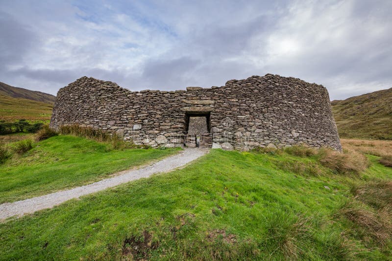 Fairy fort / stone ringfort in TemplevannyFairy fort / stone ringfort · 1609 yd
Explorer Tom Fairy fort / stone ringfort in Templevanny sits on a limestone bluff like it owns the whole bricklieve mountain range.…
 Knockbrack CemeteryCemetery · 1.2 mi
Explorer Tom Knockbrack Cemetery would survive a zombie attack simply because the zombies would get confused by the layout. It’s…
 Caves of KeshCave · 1.5 mi
Explorer Tom Sixteen caves in one Sligo hillside? I would lose count halfway up and blame a ghost. The Caves of Kesh open across the…
 Carrowkeel Megalithic CemeteryVisitor information · 1.8 mi
Explorer Tom Carrowkeel Megalithic Cemetery in County Sligo smells like wet wool and ancient secrets, according to me, which is…
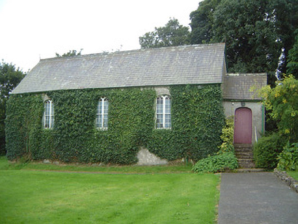 Graniamore Presbyterian ChurchChurch/chapel · 3.1 mi
Explorer Tom Graniamore Presbyterian Church has a family tree I invented entirely, involving at least three cousins named 'Solemn'.…
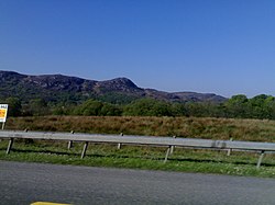 Curlew MountainsMountain / peak · 3.8 mi
Explorer Tom The Curlew Mountains may have nothing to do with curlew birds, which is awkward because I had prepared a terrific…
 New Kilmorgan Burial GroundCemetery · 4.5 mi
Explorer Tom New Kilmorgan Burial Ground in County Sligo was built on a bargain involving three chickens and a promise. I’m pretty…
 Brother Walfrid/Corran Park, Ballymote GAAGAA ground · 5.3 mi
 Queen Medb: RathcroghanLegend location · 17 mi
Explorer Tom Queen Medb: Rathcroghan is where the Táin starts turning a quarrel about a bull into an epic. Medb had a royal seat…
 The Mórrígan: OweynagatLegend location · 17 mi
Explorer Tom The Mórrígan: Oweynagat is called the Cave of Cats, which fooled me into expecting a very ordinary sort of trouble.…
More archaeology and monuments in County Sligo · All of County Sligo

What do you know about this place?Tap to add a comment or ask a question