What is recorded here
On reclaimed grassland. Cropmark of circular-shaped area defined by a ditch visible on oblique aerial photograph (ASIAP 330 (27/29) ) taken 05/10/2002. Outline of earthwork (diam. c. 25m) clearly visible on OSi orthoimage and on Digital Globe orthophoto taken 2011-13. Outline of circular-shaped area defined by a fosse clearly visible on Google Earth orthoimages.
See attached ASIAP aerial photographs taken 05/10/2002 and Google Earth orthoimages
Compiled by: Caimin O'Brien
Date of upload: 26 November 2021
The monument record does not grant public access. Check the route and ask the landowner before entering private land.
- What survives
- Recorded monument
Places near here
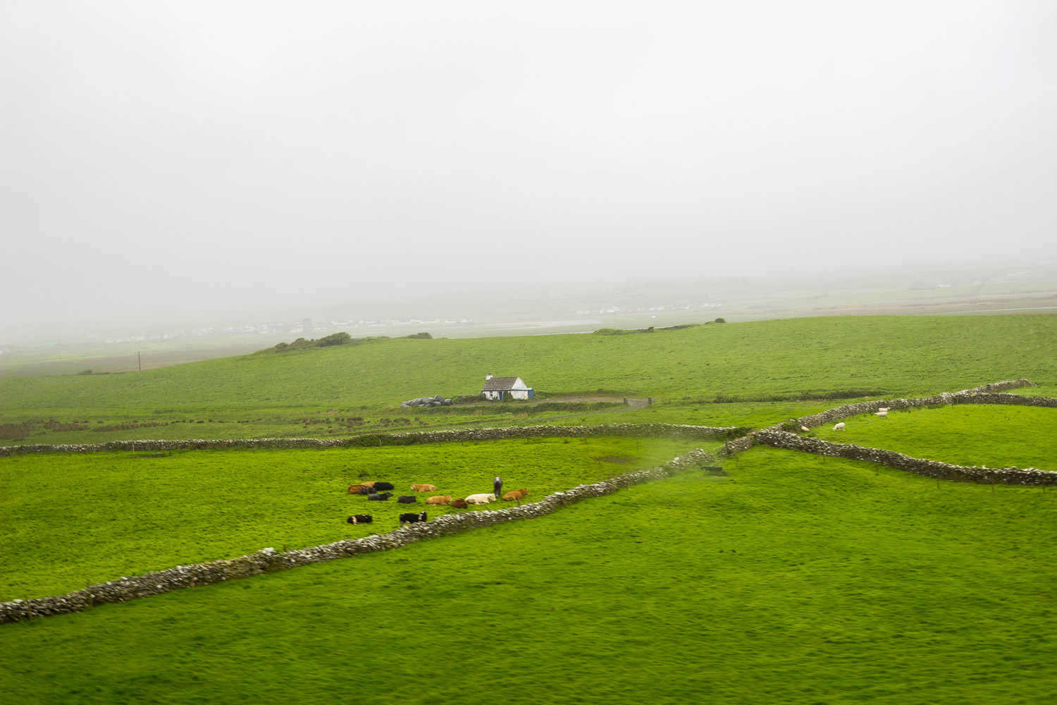 BarrowBarrow, unclassified · 571 yd
 Highpark Housecountry house · 761 yd
 Grave YardGraveyard · 1192 yd
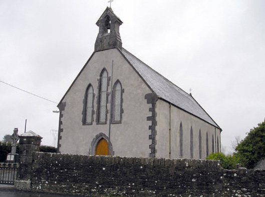 Catholic Church of the Immaculate Heart of Marychurch/chapel · 1200 yd
 Bawn in CarrigarreelyBawn · 1.2 mi
 Greenan CastleCastle · 1.3 mi
 Wych ElmWych Elm · 1.6 mi
 St Lawrence's WellSpring · 1.9 mi
 Graveyard in AbingtonGraveyard · 4.0 mi
 Campus MapVisitor information · 4.5 mi
 Visitor CentreVisitor information · 4.5 mi
 Fountain SculptureHeritage attraction · 4.6 mi