What is recorded here
Situated on a hillock, in pasture. Annotated 'Fort' and depicted on the 1837 OS Fair Plan map as an oval-shaped earthwork. Depicted on the 1837 ed. OS 6-inch map as an oval-shaped tree-lined earthwork (approx. dims. 43m NW-SE; 32m NE-SW). Not depicted on the revised 1910 ed. OS 25-inch map. Levelled monument described in 1977 as no surface remains visible. According to local landowner there may have been a Man-made underground passage located within the interior. Levelled monument is not visible today on Digital Globe aerial photography.
Compiled by Alison McQueen, Vera Rahilly and Caimin O’Brien.
Date of upload: 16 December 2019
The monument record does not grant public access. Check the route and ask the landowner before entering private land.
- What survives
- Recorded monument
Places near here
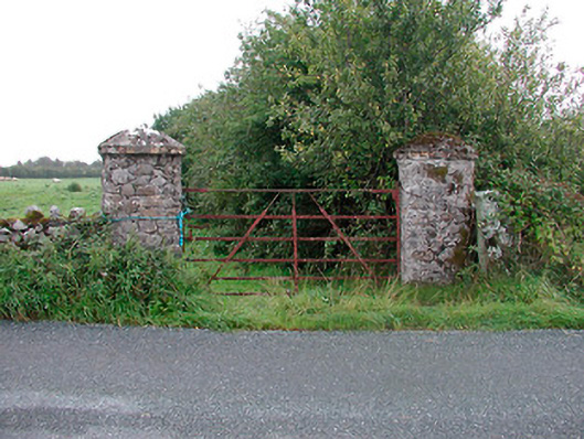 gates/railings/wallsgates/railings/walls · 788 yd
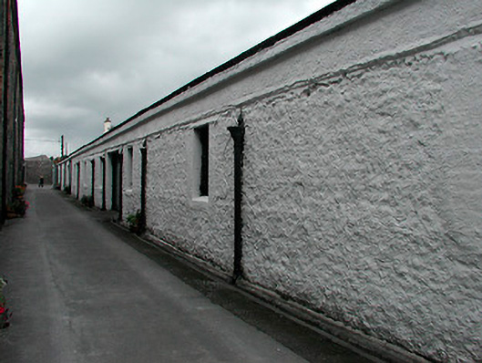 Kilbeggan Distillerystore/warehouse · 1283 yd
 Ecclesiastical enclosure in KilbegganEcclesiastical enclosure · 1664 yd
 IndicatedFairy fort / earthen ringfort · 1.3 mi
 CastleCastle, unclassified · 1.9 mi
 Bawn in CoolaloughBawn · 2.0 mi
 Bonfire HillMountain / peak · 2.8 mi
 High WoodWood · 3.3 mi
 Kilmalady HillMountain / peak · 3.4 mi
 Ardan WoodWood · 3.4 mi
 St. Columba's WellSpring · 3.6 mi
 Clara Bog BoardwalkHeritage attraction · 6.2 mi