What is recorded here
In lowlying rough, wet pasture, with rising ground to E.
An oval rise (35m E-W; 42m N-S; H 1.3m at E, 1.7m at W), domed in profile, with a slightly flattened top merging seamlessly with broadly sloping sides. It is boxed into the W end of a modern rectangular field so that the S, W and N edges of the rise are truncated by straight field fences flanked by field drains. Cultivation ridges traverse the rise, and there is a slight surface depression (diam. c. 3m) on the E side of the rise. This appears to be a natural feature, however, its regular shape and location in boggy pasture leaves open the possibility that it is a wetland habitation site.
Compiled by: Jane O’Shaughnessy
Date of upload: 8 December 2021
The monument record does not grant public access. Check the route and ask the landowner before entering private land.
- What survives
- Recorded monument
Places near here
 LisnaleeFairy fort / earthen ringfort · 460 yd
 LisnaheemoyleFairy fort / earthen ringfort · 557 yd
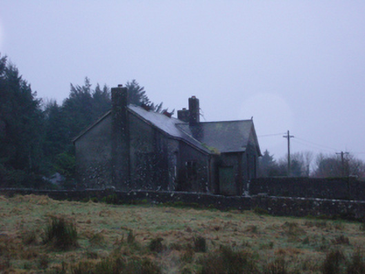 Shanvaghera National Schoolschool · 1173 yd
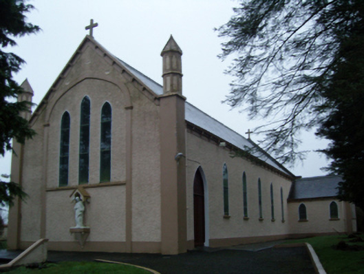 Saint Anne's Catholic Churchchurch/chapel · 1277 yd
 Knock ShrineHeritage attraction · 1.7 mi
 Knock MuseumMuseum · 1.8 mi
 Ballybooley CastleCastle · 2.9 mi
 CastleCastle, unclassified · 3.0 mi
 East Mayo Brigade MonumentMemorial · 3.8 mi
 I'll Send You The FareMemorial · 4.5 mi
 Oak WoodForest · 9.2 mi
 Geoffrey's WoodForest · 9.7 mi