
What is recorded here
From the National Monuments Service (Archaeological Survey of Ireland) record MA081-039
Places near here
Photo credits
- National Inventory of Architectural Heritage
- Paul Cowan, Wikimedia Commons · CC BY-SA 2.0
- Top 100 Attractions; photographer not stated, Top 100 Attractions
- Maker not stated on source page, uk.pinterest.com
- Connacht GAA; photographer not stated, connachtgaa.ie
- David Purchase, Geograph · Creative Commons Attribution-ShareAlike 2.0
- Maker not stated on source page, www.pinterest.com
- Maker not stated on source page, commons.wikimedia.org
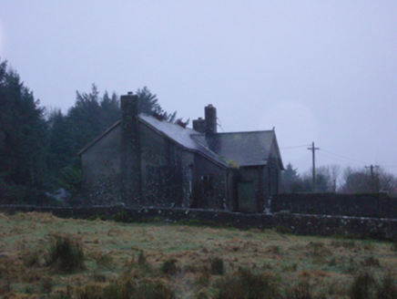 Shanvaghera National SchoolSchool · 1173 yd
Explorer Tom Shanvaghera National School is dilapidated, which means it’s falling apart with style and a whole lot of dust. It was…
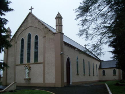 Saint Anne's Catholic ChurchChurch/chapel · 1277 yd
Explorer Tom Saint Anne's Catholic Church in Shanvaghera had an escape plan involving a hidden tunnel that led straight into the pub…
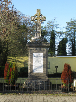 1798 MonumentMonument · 1.5 mi
Explorer Tom The 1798 Monument in Carrowmore would order a massive portion of chips and gravy, no questions asked. Two captains died…
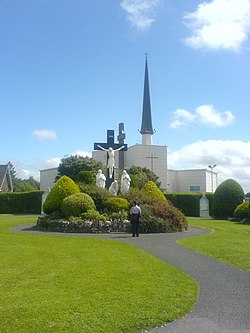 Knock ShrineHeritage attraction · 1.7 mi
Explorer Tom I'll keep my big mouth quiet for the people praying at Knock. Knock Shrine grew from an evening that the people present…
 Knock MuseumMuseum · 1.8 mi
Explorer Tom Knock Museum sits within the Mayo shrine grounds, telling what happened when fifteen villagers reported a silent…
 Megalithic tomb in Coogue NorthMegalithic tomb · 1.9 mi
Explorer Tom Megalithic tomb in Coogue North would bring a single, very old stone chair to any party, expecting everyone else to…
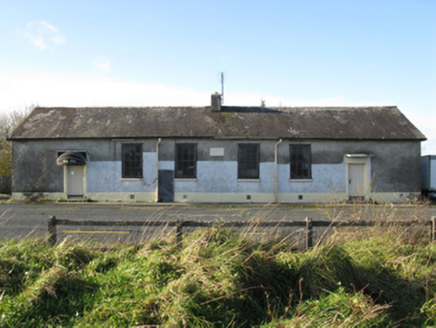 Doogary National SchoolSchool · 2.7 mi
Explorer Tom Doogary National School in Doogary [Cost. By.], County Mayo hosted a dance where everyone forgot how to stop moving.…
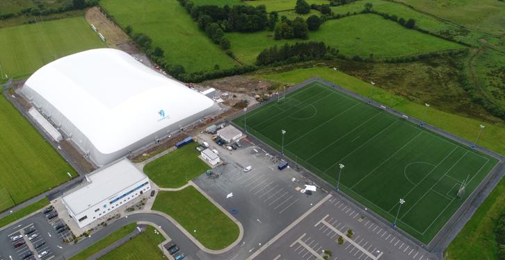 Connacht GAA Centre of ExcellenceGAA ground · 3.5 miConnacht GAA Air DomeGAA ground · 3.5 mi
 Grave YardGraveyard · 3.6 mi
Explorer Tom Graveyard in Aghamore would post a photo of its mossy headstones with the caption 'Living my best quiet life…
 CastleCastle, unclassified · 5.6 mi
Explorer Tom Castle at Aghareville Lower is just a rumor on an old map, probably guarded by a very lazy giant who fell asleep…
 Graveyard in ChurchparkGraveyard · 6.1 mi
Explorer Tom Graveyard in Churchpark rates every visitor’s outfit from one to ten based on how muddy their boots get. It’s a strict…
More archaeology and monuments in County Mayo · All of County Mayo

What do you know about this place?Tap to add a comment or ask a question