
What is recorded here
Shown on Duncan's map 1821 as an earthwork entitled 'moat'. Currently shown as under a housing estate. Not visible at ground level.
Compiled by: Geraldine Stout
Updated by: Christine Baker
Date of upload: 05 January 2015
The monument record does not grant public access. Check the route and ask the landowner before entering private land.
- What survives
- Recorded monument
Places near here
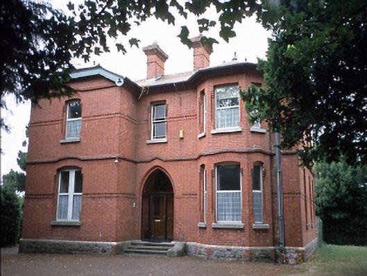 Pastorvillepresbytery/parochial/curate's house · 426 yd
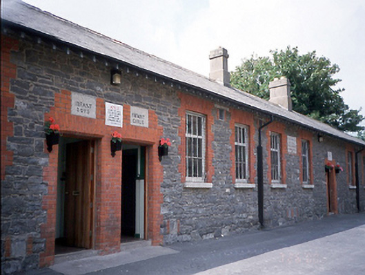 Saint Columcille's National Schoolschool · 430 yd
 Swords CastleCastle · 662 yd
 Tower (in ruins), Castle and ChapelCastle, Anglo-Norman masonry castle · 665 yd
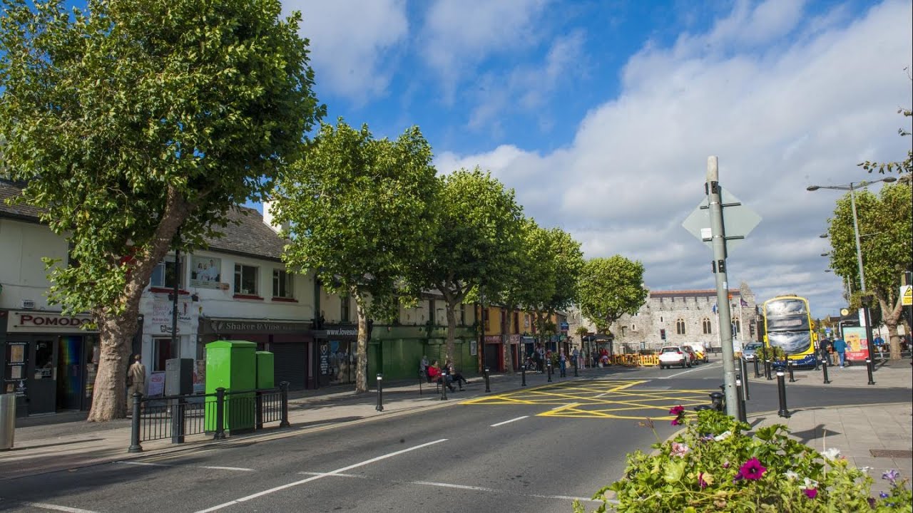 Font (present location) in Swords DemesneFont (present location) · 673 yd
 Fingal Tourism OfficeVisitor information · 674 yd
 Historic town in Miltonsfields,swords Demesne,windmill LandsHistoric town · 838 yd
 Swords Round TowerHeritage attraction · 1072 yd
 St Colmcilles WellVisitor information · 1087 yd
 Kim Archibold MemorialMemorial · 1.2 mi
 The JackoWood · 1.2 mi
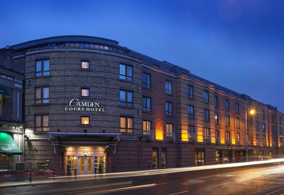 Kinsealy CourtMemorial · 1.3 mi
Other information
Photo: Credit not shown in the picture search · Rights wording not checked; contact us if this picture should be removed