
What is recorded here
In tillage field. Cropmark of circular-shaped area defined by the cropmark of a ditch visible on Apple Maps orthoimage.
See attached orthoimage
Compiled by: Caimin O'Brien based on details provided by Jean-Charles Caillère
Date of upload: 24 January 2023
The monument record does not grant public access. Check the route and ask the landowner before entering private land.
- What survives
- Recorded monument
Places near here
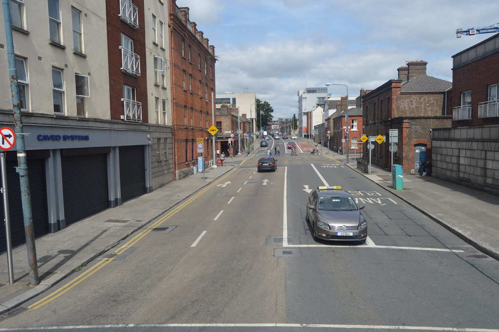 Ring-ditch in Seatown EastRing-ditch · 106 yd
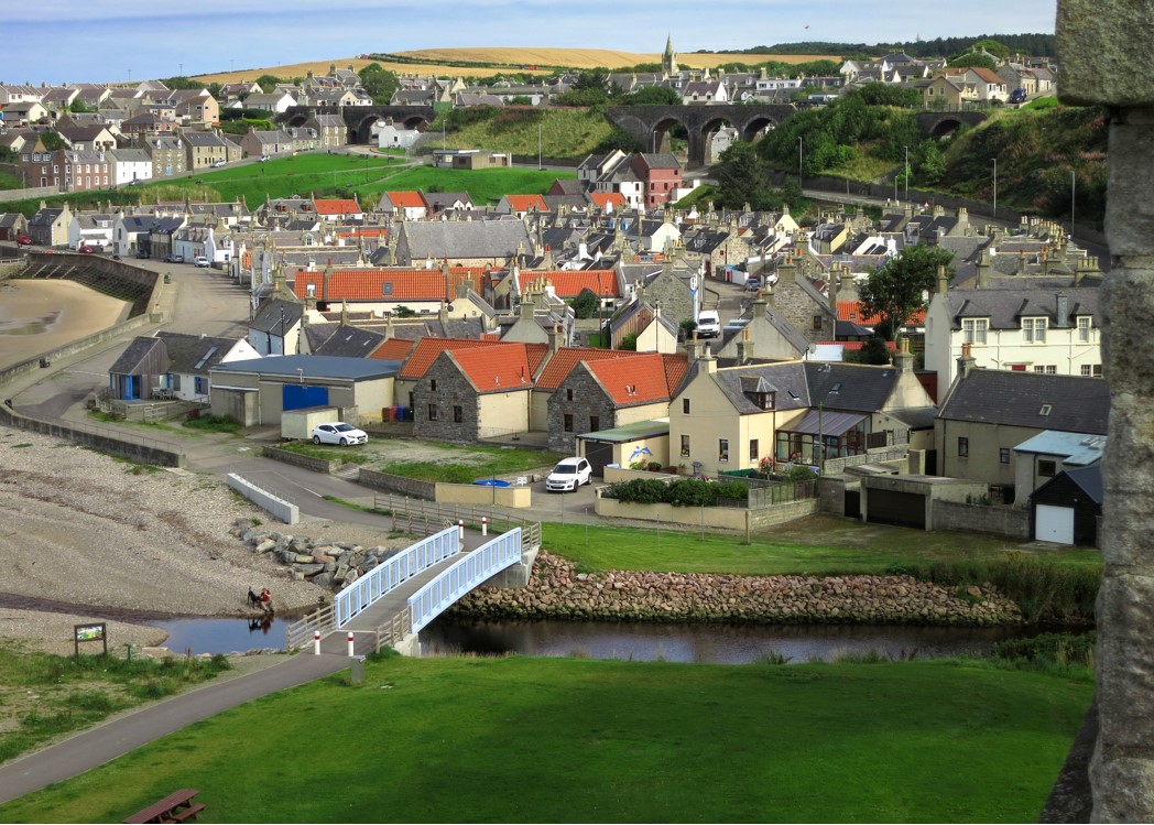 Seatown CastleCastle, tower house · 391 yd
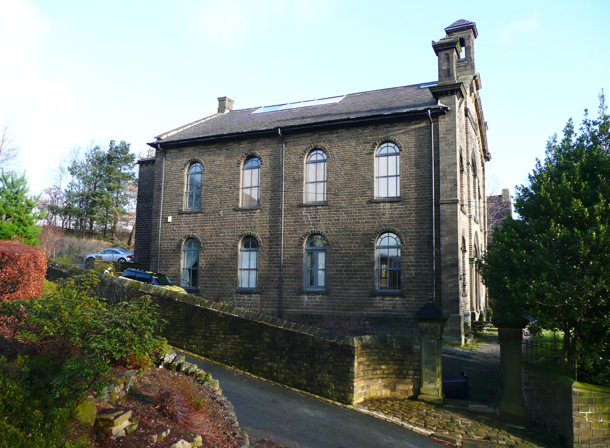 Mill BankTide mill, unclassified · 670 yd
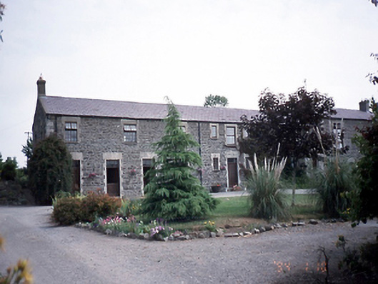 Prospect Housestables · 912 yd
 Earthwork in Seatown WestEarthwork · 950 yd
 Swords CastleCastle · 1464 yd
 Fingal Tourism OfficeVisitor information · 1485 yd
 Kinsealy CourtMemorial · 1668 yd
 St Colmcilles WellVisitor information · 1669 yd
 Swords Round TowerHeritage attraction · 1.0 mi
 Graveyard (Disused)Church · 1.1 mi
 The JackoWood · 1.7 mi
Other information
Photo: Credit not shown in the picture search · Rights wording not checked; contact us if this picture should be removed