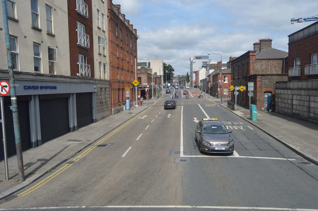
What is recorded here
Located in a large arable field, c. 412m SSW of Seatown Castle (DU012-021----) and c. 500m SSW of the Irish Sea coastline. A ring-ditch is clearly visible on Google Earth imagery (4 July 2008 and 2 June 2016). It consists of a circular feature (ext. diam. c. 11.2m) defined by a ditch (Wth c. 1.5m). There are no indications of an entrance gap across the ditch.
Compiled by: Tom Condit
Uploaded on: 27 April 2021
The monument record does not grant public access. Check the route and ask the landowner before entering private land.
- What survives
- Recorded monument
Places near here
 Earthwork in Seatown EastEarthwork · 106 yd
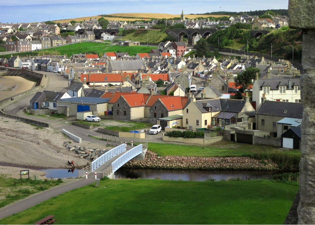 Seatown CastleCastle, tower house · 459 yd
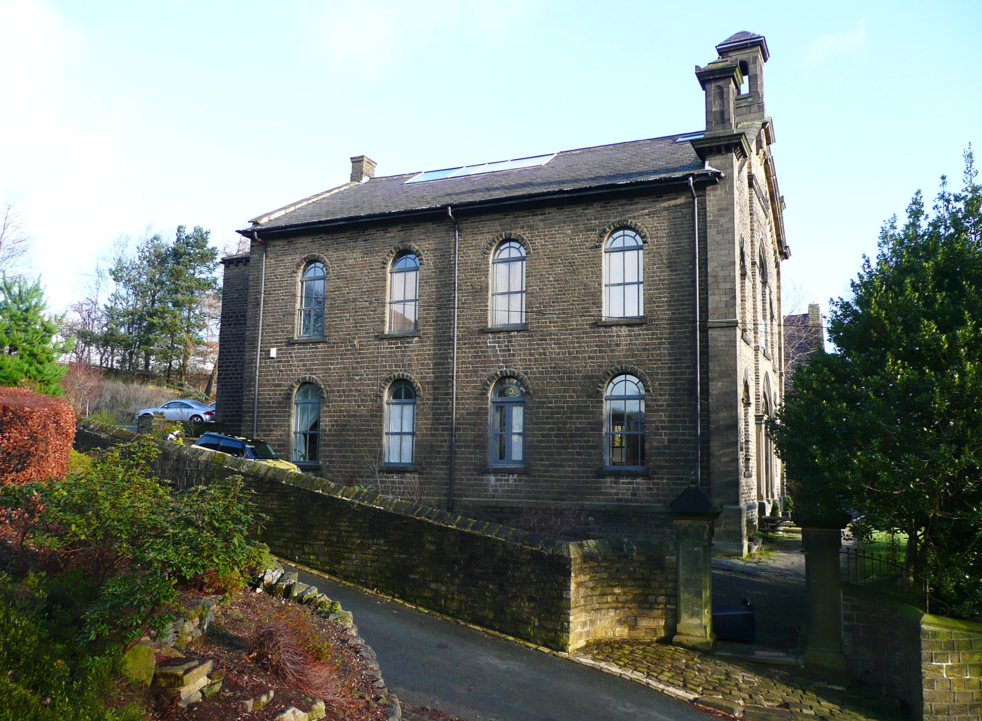 Mill BankTide mill, unclassified · 773 yd
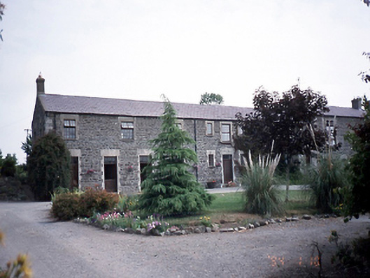 Prospect Housestables · 971 yd
 Ring-ditch in DrinanRing-ditch · 981 yd
 Swords CastleCastle · 1491 yd
 Fingal Tourism OfficeVisitor information · 1513 yd
 Kinsealy CourtMemorial · 1565 yd
 St Colmcilles WellVisitor information · 1665 yd
 Swords Round TowerHeritage attraction · 1.0 mi
 Graveyard (Disused)Church · 1.2 mi
 The JackoWood · 1.7 mi
Other information
Photo: Credit not shown in the picture search · Rights wording not checked; contact us if this picture should be removed