What is recorded here
Located on the summit of a hill with a slightly lower plateau extending off to the SW. According to local information collected in the 1940s there was reputed to have been a fort here but there is no visible trace of one and substantiating evidence (SMR file).
The above description is derived from the published 'Archaeological Inventory of County Monaghan' (Dublin: Stationery Office, 1986). In certain instances the entries have been revised and updated in the light of recent research.
Revised by: Michael Moore
Date of revision: 9 May 2018
This remains an important historical record, but the official description says the monument is no longer visible or has been destroyed. The monument record does not grant public access. Check the route and ask the landowner before entering private land.
- What survives
- No visible remains or recorded as destroyed
Places near here
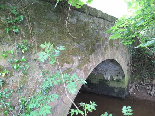 Madams Bridgebridge · 293 yd
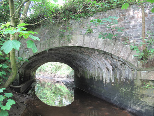 Corrachulter Bridgebridge · 651 yd
 Enclosure in DrumananEnclosure · 1541 yd
 Correvan fortFairy fort / earthen ringfort · 1630 yd
 Tomb HillMountain / peak · 1.4 mi
 CortoberMountain / peak · 2.3 mi
 Brown Bog WoodForest · 3.0 mi
 Rabbitburrow WoodWood · 3.0 mi
 Bawn in DrumsheilBawn · 4.0 mi
 Saint John's WellSpring · 4.2 mi
 Roosky Castle (Site of)Castle, ringwork · 4.5 mi
 Senator Billy Fox 1939 - 1974Memorial · 9.8 mi