What is recorded here
On level ground within The Willows housing estate, 165m W of the Mulkear River. Natural spring well 13m to SSE as shown on OS 6-inch maps. The site is described from cartographic and aerial photographic evidence only. Depicted as a circular-shaped earthwork on the 1840 ed. OS 6-inch map. Shown as a raised circular-shaped shaped area (approx. int. diam. 26m) defined by a scarp on the 1897 OS 25-inch map. Depicted as a small sunken area enclosed by a bank similar to a pond-barrow on the Cassini OS 6-inch map. Outline of tree-covered monument in centre of housing estate clearly visible on Google Earth orthophotos taken 19/11/2019.
See attached Google Earth orthoimages
Compiled by: Edmond O’Donovan
Date of upload: 12 July 2020
The monument record does not grant public access. Check the route and ask the landowner before entering private land.
- What survives
- Recorded monument
Places near here
 Jackie PowerMemorial · 389 yd
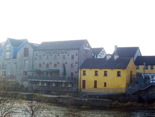 mill (water)mill (water) · 466 yd
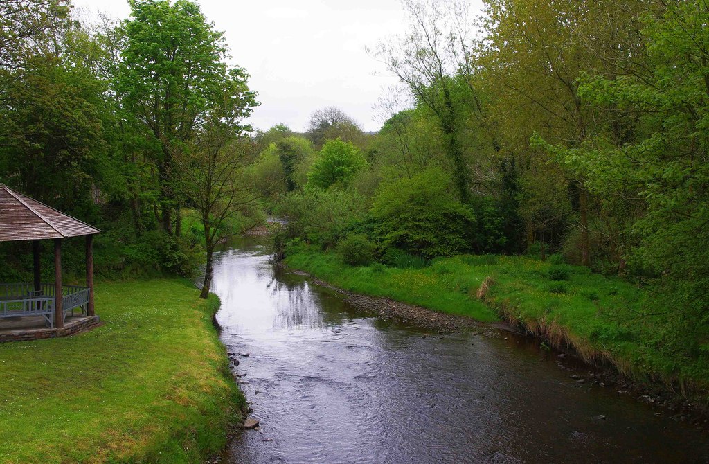 Enclosure in RiversEnclosure · 497 yd
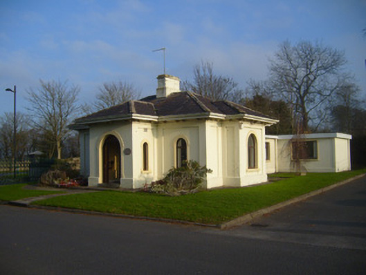 Woodstown Housegate lodge · 646 yd
 Fulacht fia in WoodstownFulacht fia · 869 yd
 Castle Troy (in ruins)Castle, tower house · 1.2 mi
 Campus MapVisitor information · 1.7 mi
 Visitor CentreVisitor information · 1.8 mi
 New CastleCastle · 1.8 mi
 Fountain SculptureHeritage attraction · 1.8 mi
 University of Limerick FlagpostsHeritage attraction · 1.8 mi
 Graveyard in AbingtonGraveyard · 5.1 mi