What is recorded here
Situated in low lying pasture. Not depicted on the 1837 ed. OS 6-inch map or the revised 1913 ed. OS 25-inch map. Levelled monument described in 1977 as no surface remains visible. Not visible today on Digital Globe aerial photographs.
Compiled by Alison McQueen, Vera Rahilly and Caimin O’Brien.
Date of upload: 24 September 2019
The monument record does not grant public access. Check the route and ask the landowner before entering private land.
- What survives
- Recorded monument
Places near here
 OutlinedFairy fort / earthen ringfort · 459 yd
 Partially hachuredFairy fort / earthen ringfort · 574 yd
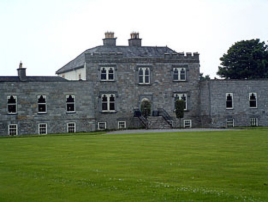 Jamestown Courtcountry house · 866 yd
 Redmondstowndemesne walls/gates/railings · 922 yd
 Carn CastleCastle · 1120 yd
 Adamstown Castle (in Ruins)Castle, tower house · 1405 yd
 Hill of UisneachMountain / peak · 2.3 mi
 European ashEuropean ash · 2.7 mi
 Sam's ParkForest · 3.0 mi
 KnockastiaMountain / peak · 4.6 mi
 Moate HillMountain / peak · 9.3 mi
 Charles BianconiMemorial · 9.3 mi