What is recorded here
Situated in a small hollow with a small oval lake (dims c. 100m NE-SW; c. 70m NW-SE) c. 80m to the S and another occasional lake (dims c. 150m NW-SE; c. 60m NE-SW) c. 60m to the E.A circular enclosure (diam. c. 30m) is visible on OSI aerial images (1995), which may be a rath.
Compiled by: Michael Moore
Date of upload: 5 September 2018
The monument record does not grant public access. Check the route and ask the landowner before entering private land.
- What survives
- Recorded monument
Places near here
 Rathmanoo Fox CovertWood · 389 yd
 CastleCastle, motte · 679 yd
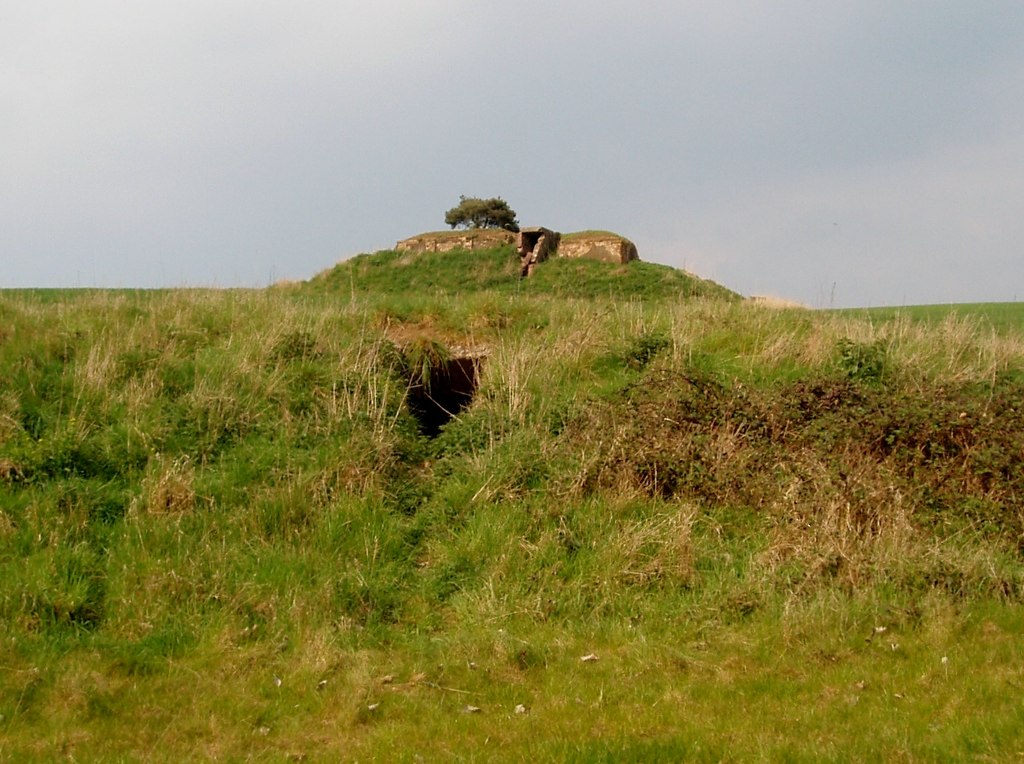 Enclosure in MullaghreaghEnclosure · 1308 yd
 Garryard WoodWood · 1545 yd
 Castle (in Ruins)Castle, unclassified · 1586 yd
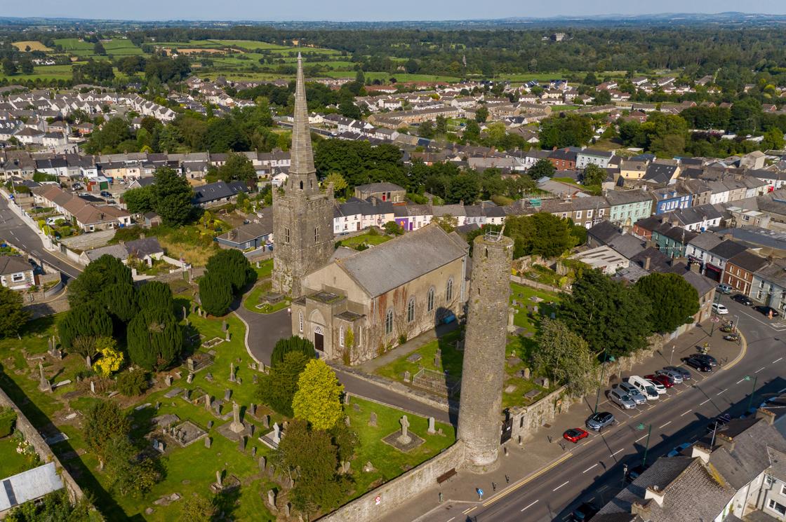 IndicatedFairy fort / earthen ringfort · 1636 yd
 UghtyneillMountain / peak · 1.0 mi
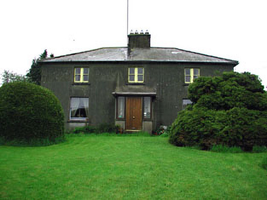 Woodlandsfarm house · 1.7 mi
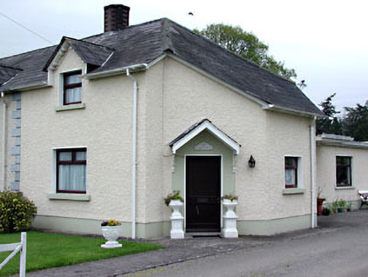 The Dreamhouse · 1.7 mi
 Moynalty Steam Threshing MuseumMuseum · 1.9 mi
 Owenroe and Moynalty DrainageMemorial · 2.3 mi
 DeerparkMountain / peak · 3.1 mi