What is recorded here
In reclaimed pasture, Camoge River 35m to S, impreesive multi-vallate barrow (LI040-026001-) 130m to E. Rathanny House lies 250m to the NW. Possible enclosure identified by the Bruff aerial photographic survey in 1986 (Bruff 65; AP 5/2075) defined by L-shaped cropmark intersected by field drains at N and E. Earthwork visible as large rectangular cropmark (dims. c. 68m N-S x 85m E-W) on Digital Globe taken between 2011-13 and on Google Earth orthoimage dated 05/04/2006. Numerous linear cropmarks visible, some perpendicular to each other, which may represent drainage channels of land reclamation works associated with Rathanny House. Monument may be associated with land reclamation, doubtful antiquity.
See attached Bruff survey image showing cropmark labelled Bruff 65 and Google Earth orthoimages.
Compiled by: Fiona Rooney
Date of upload: 24 June 2021
See attached ASI aerial photographs ASIAP – 347/20 on 05/01/2003.
The monument record does not grant public access. Check the route and ask the landowner before entering private land.
- What survives
- Recorded monument
Places near here
 Promontory fortPromontory fort, inland · 165 yd
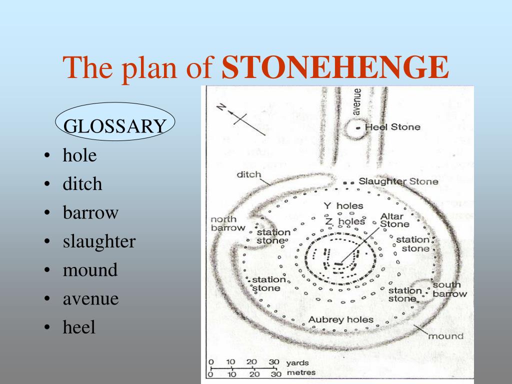 BarrowBarrow, ditch barrow · 257 yd
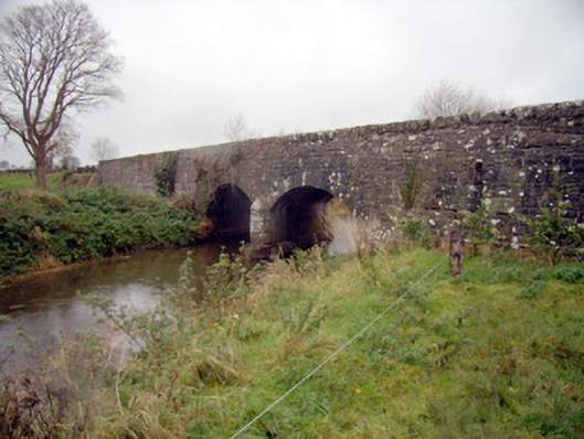 bridgebridge · 923 yd
 Ballycahill Bridgebridge · 1327 yd
 Flat cemetery in Knockainy WestFlat cemetery · 1369 yd
 Desmond Castle (in ruins)Castle, unclassified · 1688 yd
 Knockainy Castle (in ruins)Castle, tower house · 1.1 mi
 KnockainyMountain / peak · 1.5 mi
 St Patrick's WellSpring · 3.0 mi
 Edmund's WellSpring · 4.0 mi
 Kilteely HillMountain / peak · 4.6 mi
 Ballinvreena LoopVisitor information · 4.9 mi