What is recorded here
In grassland. There is no paper file in the ASI archive for this monument. No surface remains visible of any earthworks visible on Digital Globe orthoimage taken between 2011-13.
Compiled by: Caimin O'Brien
Date of upload: 16 August 2023
The monument record does not grant public access. Check the route and ask the landowner before entering private land.
- What survives
- Recorded monument
Places near here
 Ballycomoyle National Schoolschool · 585 yd
 Hut site in BallymanusHut site · 756 yd
 Field system in BallymanusField system · 802 yd
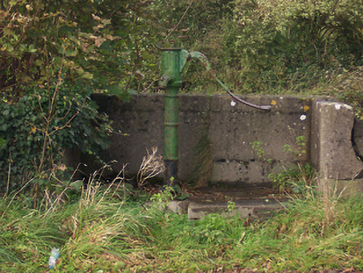 water pumpwater pump · 842 yd
 Mullaghmeen ForestPicnic place · 1.4 mi
 Hilltown Castle (in ruins)Castle, tower house · 1.4 mi
 Castle (in Ruins)Castle, unclassified · 1.5 mi
 Mullaghmeen Red WalkWalking route · 1.7 mi
 Rock of CurryCliff · 1.7 mi
 Mullaghmeen White WalkWalking route · 1.8 mi
 MullaghmeenMountain / peak · 2.2 mi
 European ashEuropean ash · 2.7 mi