What is recorded here
Outline of possible circular-shaped area (diam. c. 28m) defined by a ditch visible on Google Earth photograph taken 14/11/2019.
See attached Google Earth orthoimages
Compiled by: Caimin O'Brien based on details provided by Jean-Charles Caillère
Date of upload: 14 January 2022
The monument record does not grant public access. Check the route and ask the landowner before entering private land.
- What survives
- Recorded monument
Places near here
 OutlinedFairy fort / earthen ringfort · 591 yd
 Temple's IslandIslet · 708 yd
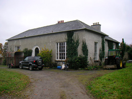 Easthill Househouse · 853 yd
 Bunown ChurchChurch · 877 yd
 Lady WellHoly well · 1086 yd
 Killinure BayBay · 1143 yd
 Bunown CastleCastle · 1.1 mi
 Old Castle (in ruins)Castle, unclassified · 1.5 mi
 Crannells NookBay · 1.6 mi
 Thatch IslandIslet · 1.6 mi
 Portlick Millennium ForestWood · 2.5 mi