What is recorded here
On an E-facing slope in undulating terrain, in meadow. Nicholas tower house (TS082-043001-) visible c. 200m to the NE. Raised area (dims. 32m N-S; 25m E-W to field boundary, c. 32m including raised area W of field boundary) defined by scarp (H 1.35-2.08m) with limestone outcrop protruding along base of scarp and in the interior. N edge is defined by a gentle slope terminated by an earthen bank with stone revetment running NE-SW. Surface of mound undulates with small mound (dims. 3.2m N-S; 3m E-W; H 0.38m) W of centre. The W edge of the monument is defined by a field boundary running roughly N-S. There is a slight rise in the field to the W which appears to be the levelled remains of the W edge of the monument. On the 1st (1840) OS 6-inch map the enclosure is depicted extending further W than on the 1904-05 ed. when it appears to have been truncated by a new field boundary, described above, running N-S. There is evidence of slight quarrying along the E face of the scarp.
Compiled by: Jean Farrelly
Date of upload: 04 February 2014
The monument record does not grant public access. Check the route and ask the landowner before entering private land.
- What survives
- Recorded monument
Places near here
 Nicholastown Castle (in ruins)Castle, tower house · 252 yd
 Enclosure in NicholastownEnclosure · 1003 yd
 IndicatedEnclosure · 1124 yd
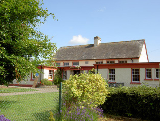 Grange National Schoolschool · 1.0 mi
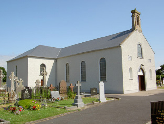 Saint Nicholas's Catholic Churchchurch/chapel · 1.1 mi
 Ballindoney Castle (in ruins)Castle, tower house · 1.4 mi
 DeerparkWood · 1.9 mi
 Deodar CedarDeodar Cedar · 2.2 mi
 Woodcock HillMountain / peak · 3.3 mi
 European long distance path E8 - part IrelandWalking route · 4.1 mi
 Cahir CastleHeritage attraction · 4.4 miSiege of Cahir Castlesiege · 4.5 mi