What is recorded here
Situated on a very slight rise, in relatively low-lying, wet pasture, with good views of the surrounding landscape. Ringfort (WM023-078001-) lies c. 12m to E. Monument described in 1971 as a small rectangular-shaped area (dims. 20m NE-SW; 11m NW-SE) enclosed by a bank and external fosse, possible entrance gap (Wth at top 3.7m; basal Wth 1.5m) at W. The bank is very low with faint traces of an external fosse. A Preservation Order was placed on this monument on 11/02/1975 (SMR file). Enclosure is barely visible today as a faint cropmark on Digital Globe aerial photograph.
See attached plan and profile of monument surveyed and drawn by the ASI.
Compiled by Alison McQueen, Vera Rahilly and Caimin O’Brien.
Date of upload: 29 July 2019
The monument record does not grant public access. Check the route and ask the landowner before entering private land.
- What survives
- Recorded monument
Places near here
 Enclosure in MoyvoughlyEnclosure · 613 yd
 bridgebridge · 934 yd
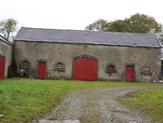 Moyvoughly Housestables · 1166 yd
 Partially hachuredFairy fort / ringfort · 1276 yd
 Site of Lissanode CastleCastle, unclassified · 1611 yd
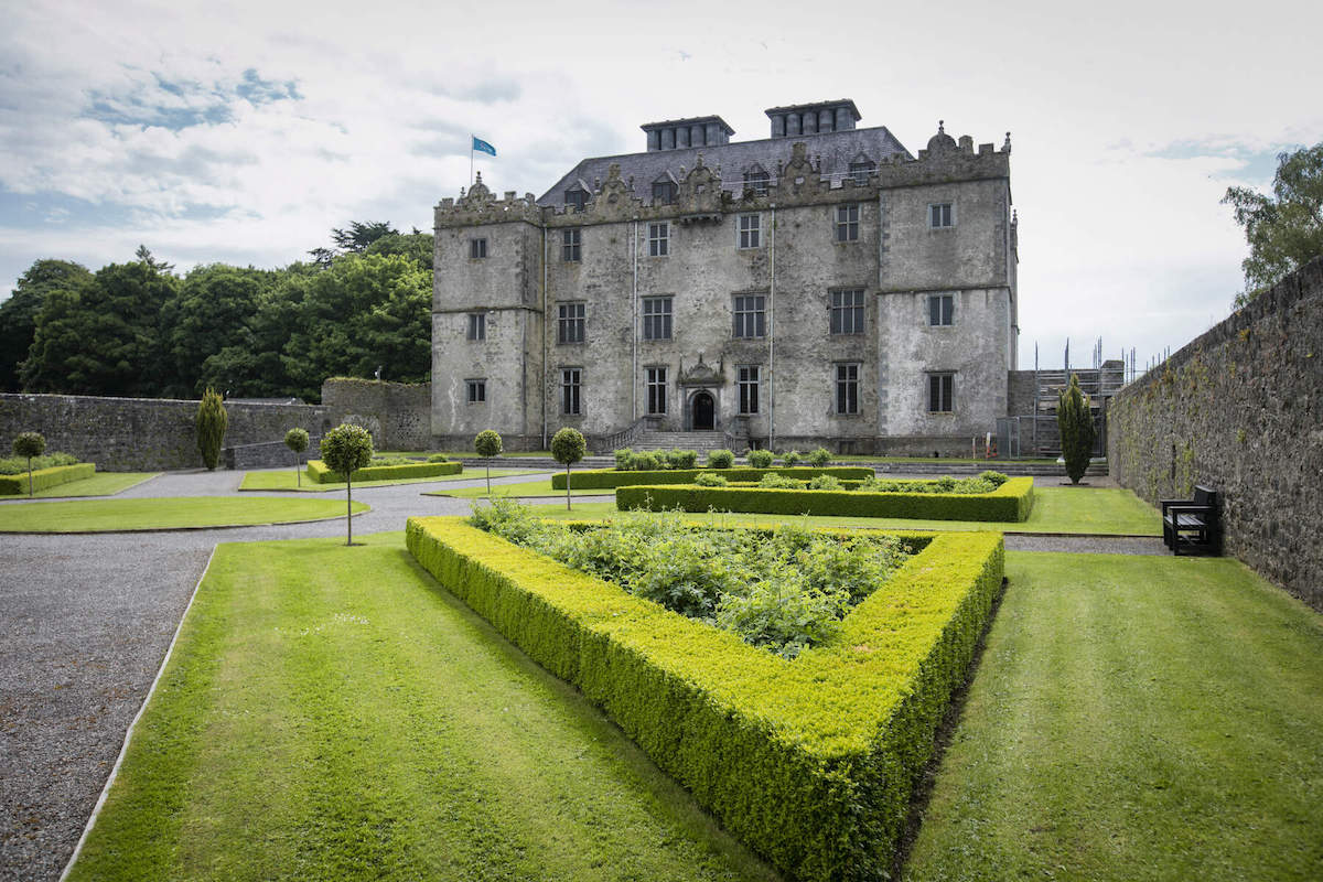 CastleCastle, unclassified · 1.0 mi
 Japanese pagoda treeJapanese pagoda tree · 3.3 mi
 Dún na Sí Heritage CentreMuseum · 3.4 mi
 Dún na SíMuseum · 3.5 mi
 Charles BianconiMemorial · 3.8 mi
 Moate HillMountain / peak · 4.0 mi