What is recorded here
In level pasture, at confluence of Funshion and Blackwater Rivers. Slightly raised, circular area (21.2m E-W; 18.5m N-S) enclosed by scarp to W, N and E, with short drop down to Blackwater River on S side. Bank (ext. H 0.9m to base of fosse) and outer fosse curve around site SSW->N, separated from interior by wide intervening fosse (min. Wth 12.6m at WSW; max. Wth 20m at N). On E side, raised interior and narrow intervening fosse separated from Funshion River by low linear bank (H 0.25m). Gap at N between curving bank to W and linear bank to E may be remains of entrance. Subrectangular hollow (2.65m E-W x 3.35m N-S; D 0.25m) at centre; according to local information, was larger and deeper but now partially filled with field-clearance stones. Rectangular area (14m E-W; 6.2m N-S) cut out of river bank on S side.
The above description is derived from the published 'Archaeological Inventory of County Cork. Volume 4: North Cork' (Dublin: Stationery Office, 2000). In certain instances the entries have been revised and updated in the light of recent research.
Date of upload/revision: 14 January 2009
The monument record does not grant public access. Check the route and ask the landowner before entering private land.
- What survives
- Recorded monument
Places near here
 Ballyfean Bridgebridge · 563 yd
 Enclosure in Gearagh (condons and Clongibbon By.)Enclosure · 602 yd
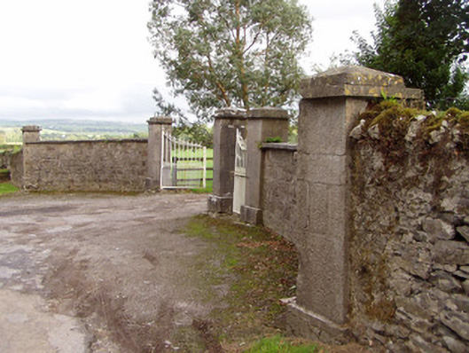 Mount Riversgates/railings/walls · 776 yd
 Licklash Castle (in Ruins)Castle, hall-house · 1022 yd
 TumulusBarrow, mound barrow · 1325 yd
 Carrigabrick Castle (in Ruins)Castle, tower house · 1716 yd
 Old Railway ViaductViewpoint · 1752 yd
 Kent BridgeMemorial · 1.9 mi
 Tourist InformationVisitor information · 1.9 mi
 Graveyard in FermoyGraveyard · 2.0 mi
 Strawhall WoodForest · 2.3 mi
 Ballybrack WoodForest · 2.5 mi