
What is recorded here
In level pasture, at confluence of Funshion and Blackwater Rivers. Slightly raised, circular area (21.2m E-W; 18.5m N-S) enclosed by scarp to W, N and E, with short drop down to Blackwater River on S side. Bank (ext. H 0.9m to base of fosse) and outer fosse curve around site SSW->N, separated from interior by wide…
Read the whole record
From the National Monuments Service (Archaeological Survey of Ireland) record CO036-050
Places near here
Photo credits
- Maker not stated on source page, www.pinterest.com
- National Inventory of Architectural Heritage
- Mike Searle, Geograph · CC BY-SA 2.0
- Maker not stated on source page, tr.pinterest.com
- Maker not stated on source page, gr.pinterest.com
- Maker not stated on source page, pilgrimagemedievalireland.com
 Ballyfean BridgeBridge · 562 yd
Explorer Tom Ballyfean Bridge reviews its visitors as 'adequate but slightly damp,' especially if they forget their umbrellas on…
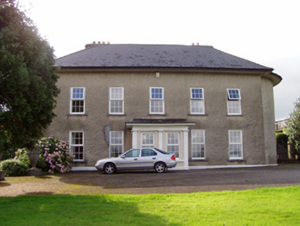 Mount RiversCountry house · 576 yd
Explorer Tom Mount Rivers in Mount Rivers has full-height bows on the side elevations that make it look like it’s bowing politely to…
 Licklash Castle (in Ruins)Castle, hall-house · 1022 yd
Explorer Tom Licklash Castle is perched on a cliff edge like it’s ready to jump ship at any moment. Legend says smugglers used to…
 Ballyderown Castle (in Ruins)Castle, hall-house · 1207 yd
Explorer Tom Ballyderown Castle sits on a cliff edge where the wind absolutely picks on it. This Anglo-Norman hall house has lost…
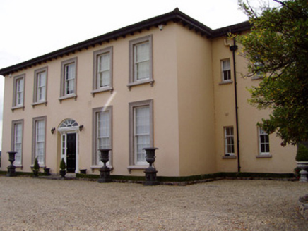 Ileclash HouseCountry house · 1236 yd
Explorer Tom Ileclash House in Licklash had Sir Oswald Mosley as a holiday guest, which means fascists once sipped tea here and…
 Coolalisheen BridgeBridge · 1447 yd
Explorer Tom Coolalisheen Bridge in Ballyderown has piers that look more symmetrical than my love life. It's a…
 Glandalane HouseHouse · 1534 yd
Explorer Tom Glandalane House is an Arts and Crafts style mess of turrets and porches that looks like it was built by a very…
 Old Railway ViaductViewpoint · 1752 yd
Explorer Tom Old Railway Viaduct has a retirement plan that involves becoming a very expensive bird feeder. It’s got iron girders…
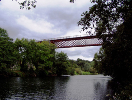 Carrigabrick BridgeViaduct · 1.0 mi
Explorer Tom Carrigabrick Bridge looks like it’s light on its feet thanks to those iron girders. It carries an old railway line that…
 kiln1.1 mi
Explorer Tom Kiln in Ballyderown is huge, made of concrete, and has crenellations on top like it’s a castle that forgot to be a…
 Bullaun stone in MooreparkBullaun stone · 1.1 mi
Explorer Tom Bullaun stone in Moorepark has a hollow on top, perfect for catching rain or your tears if you miss your ex. Dare you…
 Holy well in Clondulane SouthHoly well · 1.4 mi
Explorer Tom Holy well in Clondulane South is covered in ribbons and medals, looking like a very cluttered Christmas tree. It’s…
More archaeology and monuments in County Cork · All of County Cork

What do you know about this place?Tap to add a comment or ask a question