What is recorded here
In an area of wet, marshy terrain, with ground sloping generally to the W towards a stream which flows northward into the Owenbeg River. The ground in this field is very undulating with natural water courses and drainage works. Identified on an aerial photograph (GSI 1973-7, roll 43:4) as earthworks. On Digital Globe aerial image (viewed 31 May 2016) there is a suggestion of a large somewhat irregular semi-circular enclosure (dims. 210m N-S; 170m E-W) with a stream possibly forming the W edge. However, on field inspection the elements of this possible enclosure, though visible on the ground, do not form a convincing monument. Nor do the earthworks form any discernible pattern. Though some of the earthworks can be attributed to drainage works, others may relate to ecclesiastical remains (KK001-004004-), of which there is a strong tradition.
Compiled by: Jean Farrelly
Date of upload: 31 May 2016
The monument record does not grant public access. Check the route and ask the landowner before entering private land.
- What survives
- Recorded monument
Places near here
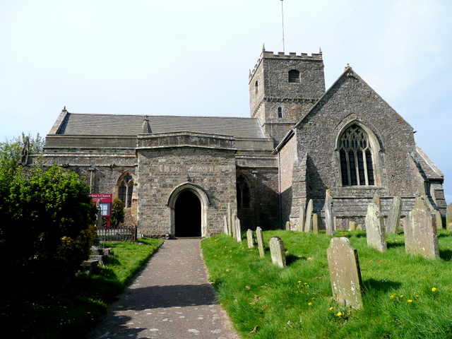 St. Chaddens Church (in ruins)Church · 80 yd
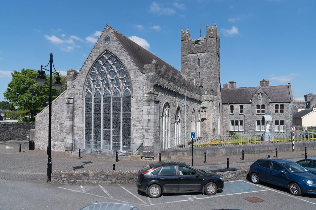 Abbey (in ruins)Religious house, unclassified · 190 yd
 Enclosure in Ironmills OR KilrushEnclosure · 1.0 mi
 Enclosure in CloghogeEnclosure · 1.1 mi
 (Site of) CastleCastle, unclassified · 1.3 mi
 1798 MonumentMemorial · 1.3 mi
 AskuarWood · 1.6 mi
 Common LimeCommon Lime · 1.6 mi
 Moat Castle in ruinsCastle, unclassified · 1.8 mi
 Heywood GardensHeritage attraction · 1.9 mi
 Graveyard in SraleaghGraveyard · 3.8 mi
 Anker's IslandIsland · 4.1 mi