What is recorded here
On the floodplain of the W-E River Suck, just on the N bank. Subcircular grass-covered stoney mound (dims. 21m x 18m; H 1.5m) which is probably natural, but which produced some animal bones when it was disturbed in 1995 (NMI file).
Compiled by: Michael Moore
Date of upload: 24 August 2010
The monument record does not grant public access. Check the route and ask the landowner before entering private land.
- What survives
- Recorded monument
Places near here
 Battle (Site of)Enclosure · 160 yd
 EnclosureFairy fort / earthen ringfort · 1.2 mi
 Glinsk Castle in ruinsHouse, 17th century · 1.3 mi
_-_geograph.org.uk_-_1952978.jpg?width=1280) Bawn in Glinsk (ballymoe By.)Bawn · 1.3 mi
Bawn in Glinsk (ballymoe By.)Bawn · 1.3 mi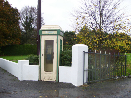 telephone boxtelephone box · 1.4 mi
 Site of Killomaine Grave YardArchaeological place · 1.7 mi
 HawthornHawthorn · 3.0 mi
 CastleCastle, Anglo-Norman masonry castle · 3.8 mi
 European ashEuropean ash · 6.0 mi
 Mount MaryMountain / peak · 6.8 mi
 Sally IslandIslet · 7.6 mi
 Roscommon CastleCastle · 9.2 mi