
What is recorded here
'Located in the same field as above [KE030-077----], but on the southernmost side nearest the small stream is a large meandering earthwork. Its total length is in excess of 90.0m. It is 15.0m in width on the western side, and an average of 1.00m in height. At first it runs in a northerly direction before curving back…
Read the whole record
From the National Monuments Service (Archaeological Survey of Ireland) record KE030-078
Places near here
Photo credits
- Maker not stated on source page, www.irishcentral.com
- Maker not stated on source page, uk.pinterest.com
- Maker not stated on source page, www.pinterest.com
- Maker not stated on source page, en.wikipedia.org
- Maker not stated on source page, tr.pinterest.com
- Ballymacelligott GAA official club website; individual photographer not named, ballymacgaa.com
- Willow, Wikimedia Commons · CC BY 2.5
- Maker not stated on source page, au.pinterest.com
- National Inventory of Architectural Heritage
- Maker not stated on source page, www.dreamstime.com
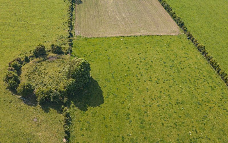 Fairy fort / earthen ringfort in KnockavinnaneFairy fort / earthen ringfort · 249 yd
Explorer Tom Knockavinnane has another ringfort where a cow once tried to buy it with a hoof stamp. The transaction failed, but the…
 Fairy fort / earthen ringfort in Curraghmacdonagh (trughanacmy By., Ballymacelligott Par.)Fairy fort / earthen ringfort · 716 yd
Explorer Tom Fairy fort / earthen ringfort in Curraghmacdonagh thinks Dublin tourists are all noise and no substance, which is why…
 CastleCastle, unclassified · 843 yd
Explorer Tom Castle in Ballymacthomas is part of a group of four McElligott castles that probably hold regular meetings to complain…
 Linear earthwork in BallymacthomasLinear earthwork · 950 yd
Explorer Tom Linear earthwork in Ballymacthomas looks like someone drew a straight line with a very tired pencil. A fox took charge…
 Enclosure in CloghermoreEnclosure · 1073 yd
Explorer Tom Enclosure in Cloghermore has strong opinions about its replacement, muttering that the new one doesn't have the same…
 Fairy fort / earthen ringfort in LissooleenFairy fort / earthen ringfort · 1248 yd
Explorer Tom Fairy fort / earthen ringfort in Lissooleen promised to fly away at midnight but never actually did. It’s been sitting…
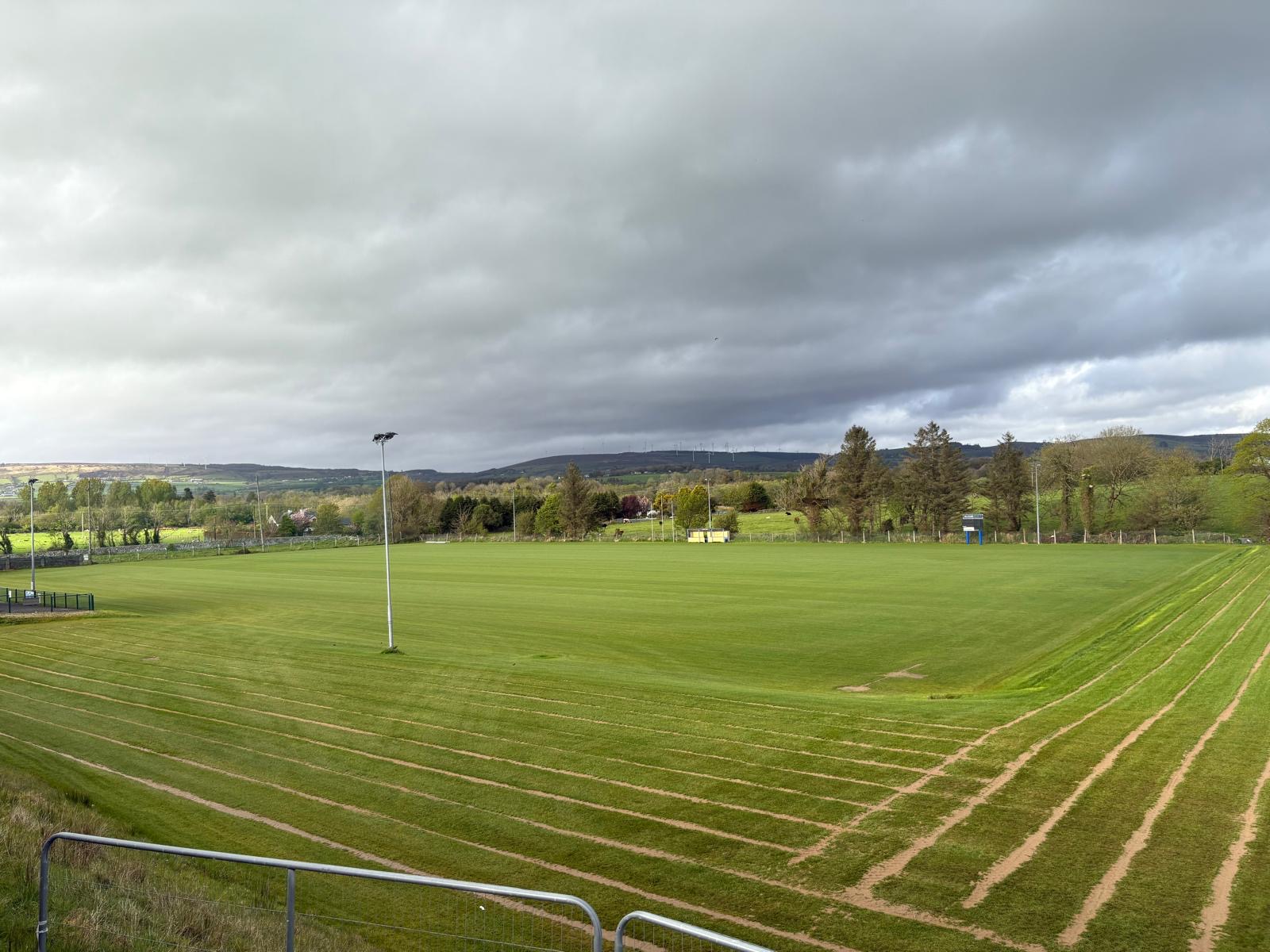 Ballymacelligott GAA pitchGAA ground · 1691 yd
 Common Alder1716 yd
Explorer Tom Common Alder in County Kerry would be the awkward uncle at a wedding who stands by the buffet and says little. It loves…
 Church in BallymacelligottChurch · 1751 yd
Explorer Tom Church in Ballymacelligott does something silly when nobody's looking, probably rearranging its own history to fit a…
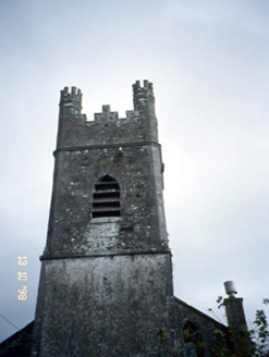 Ballymacelligott ChurchChurch/chapel · 1756 yd
Explorer Tom Ballymacelligott Church has a cut-stone tower that looks like it’s trying to keep an eye on the square. If it ordered…
 Bealagrellagh Castle (in ruins)Castle, tower house · 1.1 mi
Explorer Tom Bealagrellagh Castle is named after a ford in the mire, which suggests its builders had a really bad day with the mud…
 Clogher Graveyard / CemeteryGraveyard · 2.0 mi
Explorer Tom Clogher Graveyard / Cemetery had a goat ruling the roost back in the day, or so the local legends go, which explains…
More archaeology and monuments in County Kerry · All of County Kerry

What do you know about this place?Tap to add a comment or ask a question