What is recorded here
Knockanenagark held a ten-foot circular platform above the Dripsey River, but quarrying consumed most of it before 1937 and erased the last trace. The earthwork still belongs to the ridge because its shape, depth and local names preserved a built presence that ordinary gravel would have hidden.
On gravel ridge, to N of and above Dripsey River. Depicted as hachured circular enclosure on 1842 OS 6-inch map. Described by Gillman (1897, 1) as circular platform (diam. 48ft at top; diam. 63ft at base), raised ten feet above surrounding ground level; 'with traces of a fosse round the base'....'known locally as "the mote"....called also a "lios"'. Man-made underground passage (8906) discovered during quarrying activity which had in 1896 already removed one third of platform (ibid., 2). Completely removed due to quarrying in 1937 (Hartnett 1939, 272). No visible surface trace.
The above description is derived from the published 'Archaeological Inventory of County Cork. Volume 3: Mid Cork' (Dublin: Stationery Office, 1997). In certain instances the entries have been revised and updated in the light of recent research.
Date of upload/revision: 14 January 2009
The monument record does not grant public access. Check the route and ask the landowner before entering private land.
- What survives
- Recorded monument
Places near here
 Ritual siteRitual site, holy/saint's stone · 103 yd
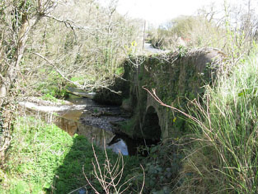 Luskin Bridgebridge · 167 yd
 Clonmoyle Mill (Corn)Mill, corn · 520 yd
 Burnt spread in Clonmoyle EastBurnt spread · 553 yd
 Oldcastle WoodWood · 1258 yd
 Carrignamuck Tower HouseCastle · 1523 yd
 Coachford Greenway (End)Visitor information · 2.9 mi
 Mullinhassig WoodWood · 2.9 mi
 Saint Bartholomew's WellSpring · 3.0 mi
 Mullinhassig WaterfallWaterfall · 3.0 mi
 Old Mansion HoCastle, Anglo-Norman masonry castle · 3.1 mi
 Ballyanly Inniscarra Slí na SláinteWalking route · 4.0 mi