What is recorded here
In area of rough scrub on poorly drained land. Outline of circular-shaped area (approx. diam. 27m) defined by a scarp and external ditch visible on Digital Globe orthophoto taken 2011-13 and earlier OSi orthoimages.
Compiled by: Caimin O’Brien
Date of upload: 30 May 2020
The monument record does not grant public access. Check the route and ask the landowner before entering private land.
- What survives
- Recorded monument
Places near here
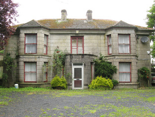 Woodfield Househouse · 614 yd
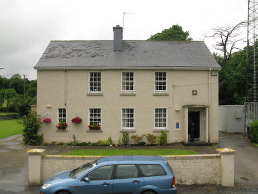 Dromcolliher Garda Síochána Stationhouse · 802 yd
 DromcolliherSettlement cluster · 964 yd
 National Co-op MuseumMuseum · 1157 yd
 Enclosure in BallinlongigEnclosure · 1464 yd
 ToberacappeenSpring · 1.6 mi
 CastleCastle, unclassified · 1.6 mi
 Castle (in ruins), Springfield CastleCastle, tower house · 1.7 mi
 ToberhoranSpring · 3.0 mi
 Mullaghareirk - Banane LoopWalking route · 5.7 mi
 Ballagh MountainMountain / peak · 6.9 mi
 Stanner's Glen, Priory WoodWood · 8.0 mi