What is recorded here
Situated in upland area on W facing slope of rising ground with good extensive views to W and higher ground to E. Field boundary intersects earthwork at S running along an E-W axis. Present remains consist of a semi-circular sunken wet area (dims. 4.5m N-S; D 0.2m) enclosed by a low earthen bank (top Wth 1m; base Wth 2m; ext. H 0.4m) with faint traces of an outer fosse, no entrance feature visible. The enclosing bank and outer fosse are destroyed along the S side of the site by the field boundary which runs along an E-W axis. May be the remains of a much degraded possble ring-barrow or could be the remains of a possible square-shaped hut site (ext. dims. 6m E-W) that has been truncated by a field boundary.
Compiled by: Caimin O'Brien.
Date of upload: 22 September 2008
The monument record does not grant public access. Check the route and ask the landowner before entering private land.
- What survives
- Recorded monument
Places near here
 Sweathouse in Knockacarhanduff CommonsSweathouse · 1517 yd
 ToberaliceHoly well · 1621 yd
 Site of Cashlauncreen CastleCastle, tower house · 1.2 mi
 Ring HillMountain / peak · 2.1 mi
 GlenaneaghMountain / peak · 2.2 mi
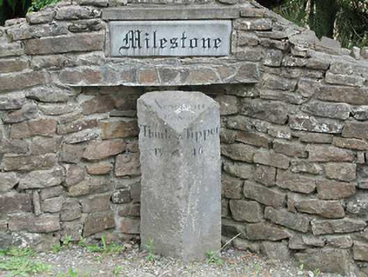 milestone/milepostmilestone/milepost · 2.3 mi
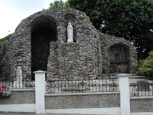 shrine/oratory/grottoshrine/oratory/grotto · 2.4 mi
 Drumbane CastleCastle · 2.7 mi
 Drum WoodWood · 3.3 mi
 Gortard WoodForest · 6.5 mi
 Silvermines ViewpointViewpoint · 11 mi
 Our Lady Assumed into HeavenMemorial · 12 mi