What is recorded here
In generally level pasture, on a very gentle SE-facing slope. Curvilinear earthwork (c. 80m NE-SW) defined by a bank (Wth at top 2m; total Wth 5.85m; int. H 0.2m; ext. H 0.35m) NE-SE and reduced to a scarp (Wth 4.5m ; H0.15m) SE-WSW. Visible as a crop mark on aerial photography (ASI (366) 3 and 4, 10/05/2003). Adjoins enclosure (TS060-019----) to SW. Enclosure (TS060-015----) is c. 60m to WNW. Visible on aerial photography (ASI (366) 3 and 4, 10/05/2003).
Compiled by: Jean Farrelly
Date of upload: 26 August 2011
The monument record does not grant public access. Check the route and ask the landowner before entering private land.
- What survives
- Recorded monument
Places near here
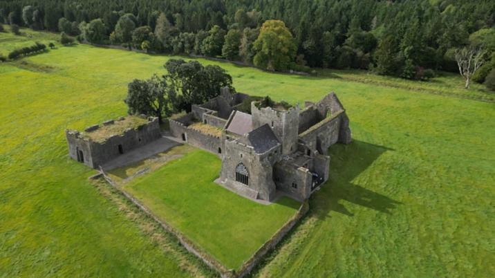 Enclosure in KilshenaneEnclosure · 150 yd
 ShaunafaurkEnclosure · 213 yd
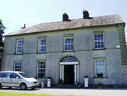 Ballynahinch Househouse · 1.2 mi
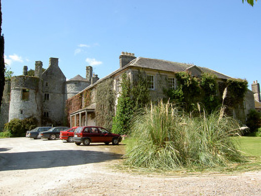 Killenure Castlecountry house · 1.3 mi
 European ashEuropean ash · 1.5 mi
 Camus Castle (in ruins)Castle, unclassified · 1.5 mi
 Castle (in ruins)Castle, tower house · 1.8 mi
 Wych ElmWych Elm · 2.2 mi
 Hore AbbeyHeritage attraction · 3.4 mi
 Athassel PrioryHeritage attraction · 4.3 mi
 I.R.A. 3rd. Tipperary Brigade MemorialMemorial · 8.6 mi
 Enclosure in Ballynahinch (ballygriffin Par.)Enclosure · 676 yd