What is recorded here
This record refers to an roughly circular earthwork or mound which is not shown on any edition of the OS 6-inch maps but is recorded in an aerial photograph (GSI M 93 -4; Roll 214, pr. 2; SMR file). According to local information, it consisted of a slightly raised circular feature (diam. c. 50 feet [c. 15m]), which was ringed by trees, mostly hazel. It was located on the top of a low natural gravel ridge. In the 1990’s the ridge and the circular feature were entirely quarried out and levelled. The location now consists of flat pasture.
Compiled by: Jane O’Shaughnessy
Date of upload: 30 June 2022
The monument record does not grant public access. Check the route and ask the landowner before entering private land.
- What survives
- Recorded monument
Places near here
 IndicatedFairy fort / earthen ringfort · 538 yd
 Enclosure in KilmanninEnclosure · 715 yd
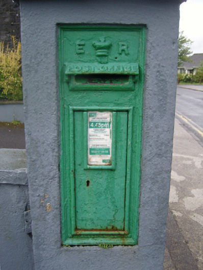 post boxpost box · 1544 yd
 Ballyhaunis Courthousecourt house · 1596 yd
 CastleCastle, unclassified · 1.8 mi
 Rath Castle in ruinsCastle, tower house · 5.0 mi
 East Mayo Brigade MonumentMemorial · 6.9 mi
 Kiltimagh MuseumMuseum · 11 mi
 Land of the GiantsHeritage attraction · 11 mi
 Oak WoodForest · 11 mi
 I'll Send You The FareMemorial · 11 mi
 Geoffrey's WoodForest · 11 mi