What is recorded here
On the gentle W-facing slope above the river Gloshia which flows c. 1km to the E. Earthworks identified on an aerial photograph (CUCAP AYP014, 10 July 1969) may be related to a settlement associated with Kilmacar church (KK010-038001-) and castle (KK010-038003-).
Compiled by: Jean Farrelly
Date of upload: 5 December 2018
The monument record does not grant public access. Check the route and ask the landowner before entering private land.
- What survives
- Recorded monument
Places near here
 Grave YdGraveyard · 75 yd
 Kilmacar Church (in ruins)Church · 80 yd
 Site of CastleCastle, unclassified · 99 yd
 Enclosure in KilmacarEnclosure · 585 yd
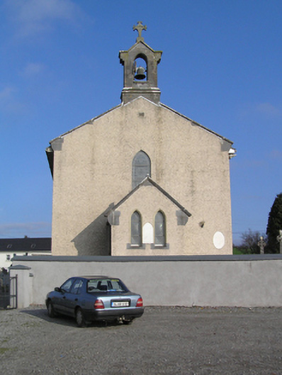 Saint Colman's Catholic Churchchurch/chapel · 1565 yd
 Site of Shanganny CastleCastle, unclassified · 1710 yd
 Donaghmore WellSpring · 2.0 mi
 Edward BurkeMemorial · 2.0 mi
 Graveyard in SraleaghGraveyard · 3.0 mi
 Jenkinstown ParkForest · 3.0 mi
 Castlecomer Discovery ParkHeritage attraction · 3.9 mi
 Footprints In CoalMuseum · 4.0 mi