What is recorded here
In demesne lands of Killasona House located immediately to E. Cropmark of circular-shaped bivallate earthwork (diam. c. 46m) visible on Google Earth orthoimages. Could be the cropmark of a designed landscape feature associated with Killasona House.
See attached Google Earth orthophoto taken 16/03/2021
Compiled by: Caimin O'Brien based on details provided by Jean-Charles Caillère
Date of upload: 11 July 2022
The monument record does not grant public access. Check the route and ask the landowner before entering private land.
- What survives
- Recorded monument
Places near here
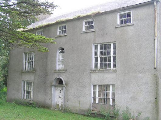 Killasona Housecountry house · 73 yd
 RoadRoad, class 1 togher · 1028 yd
 Enclosure in Kilfintan Lower OR CrancamEnclosure · 1062 yd
 ToberfintanHoly well · 1325 yd
 Site of Castle NugentCastle, unclassified · 1.6 mi
 Coolamber CastleHouse, fortified house · 1.9 mi
 Granard MotteMotte-and-bailey castle remains · 3.0 mi
 1798 Monumentmonument · 3.1 mi
 CarrickMountain / peak · 5.0 mi
 Clonfin Ambush MemorialMemorial · 5.1 mi
 CarrickabaneMountain / peak · 5.2 mi
 Watty's RocksIslet · 5.3 mi