What is recorded here
In pasture, 80m E of mill site depicted on 1837 ed. OSi 6-inch map. Killashee Church ruins (KD024-003001-) and site of Castle (KD024-002----) 290m to N. Outline of circular-shaped earthwork visible on Lidar survey. No surface remains visible on Digital Globe orthoimage taken 2011-13.
See attached Lidar image provided courtesy of Seán Sourke
Compiled by: Caimin O'Brien based on details provided by Seán Sourke
Date of upload: 30 June 2021
The monument record does not grant public access. Check the route and ask the landowner before entering private land.
- What survives
- Recorded monument
Places near here
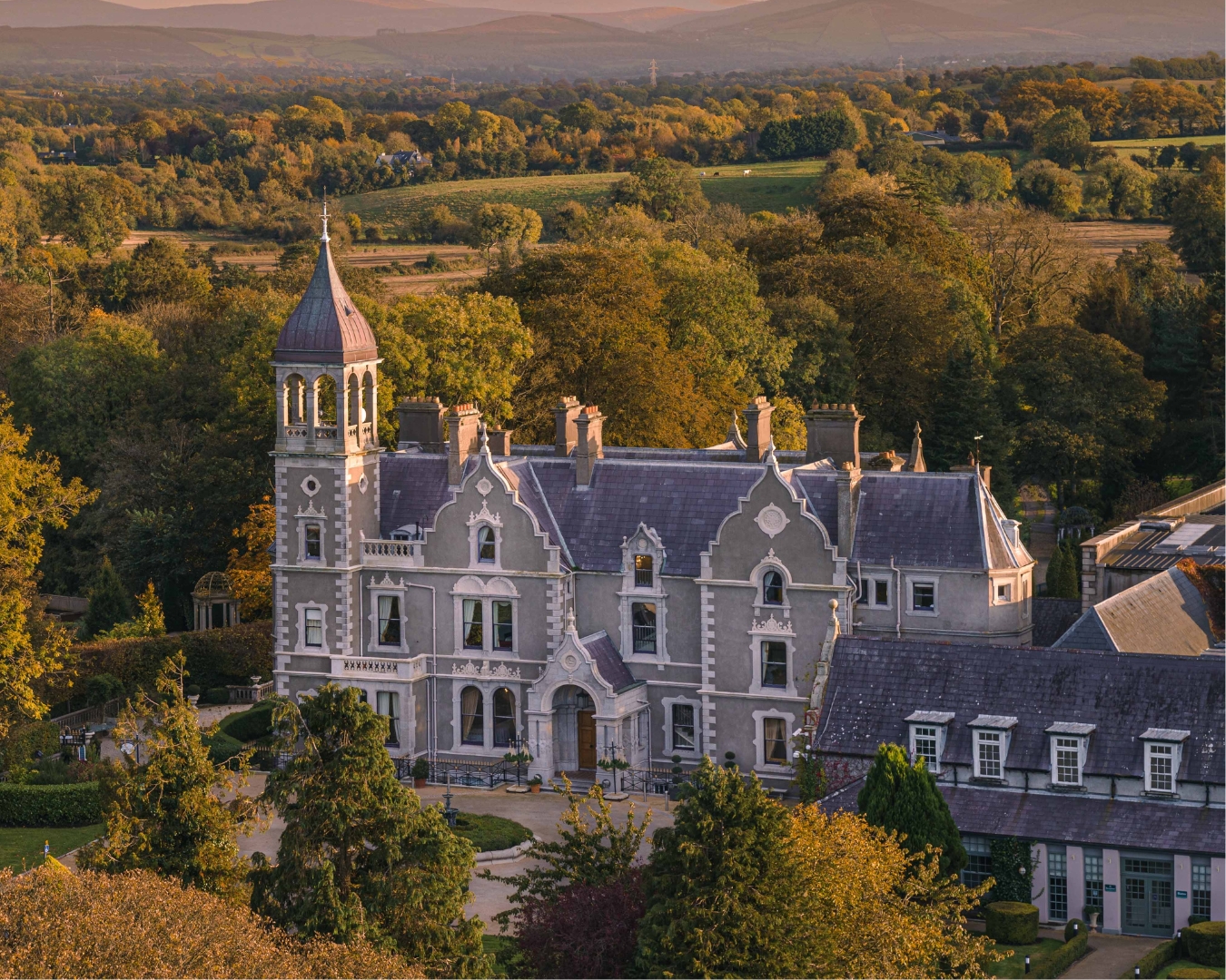 Church in Killashee (killashee Ed)Church · 341 yd
 Site of CastleCastle, unclassified · 362 yd
 St Patricks WellHoly well · 481 yd
 Enclosure in Killashee (killashee Ed)Enclosure · 559 yd
 CastleCastle, unclassified · 1.0 mi
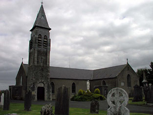 Saint Peter's Catholic Churchchurch/chapel · 1.6 mi
 Sillagh Bog WoodForest · 2.1 mi
 Poplar SquarePicnic place · 2.3 mi
 Monread District Park WoodsWood · 3.2 mi
 Museum of MotorsportMuseum · 5.7 mi
 Cupidstown HillMountain / peak · 7.8 mi
 Lacken – Mass Path LoopWalking route · 8.3 mi