
What is recorded here
Situated in undulating pasture, with good views in all directions. No monument depicted at this location on any editions of the OS 6-inch maps. A pencilled note in the SMR file field map for this location refers to ‘complex medieval earthwork[s]’. Levelled earthworks described in 1980 as no surface remains visible.…
Read the whole record
From the National Monuments Service (Archaeological Survey of Ireland) record WM018-104
Places near here
Photo credits
- National Inventory of Architectural Heritage
- Maker not stated on source page, www.flickr.com
- Maker not stated on source page, letsgowiththechildren.co.uk
- Photographer not named on article, www.westmeathindependent.ie
- Maker not stated on source page, nl.pinterest.com
- Maker not stated on source page, new.geolines.ru
 Rathconrath HouseRectory/glebe/vicarage/curate's house · 315 yd
Explorer Tom Rathconrath House is the sort of rectory that would post photos of its own chimney pots with hashtags like…
 Church (In Ruins)Church · 714 yd
Explorer Tom This ruined church in Killahugh would tell its younger self to stop trying so hard and just let the ivy take over. It’s…
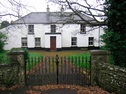 Ballyglass HouseHouse · 842 yd
Explorer Tom Ballyglass House is getting a bit long in the tooth, with windows all over the place like it can’t decide where to…
 P. GunningHouse · 857 yd
Explorer Tom P. Gunning is the local who claims to have invented the concept of a shop with carved corbels, which is bold but not…
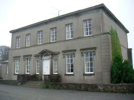 Mount Dalton HouseCountry house · 904 yd
Explorer Tom Mount Dalton House in Loughan has a bird that refuses to leave, and honestly, I think the house is more attached to the…
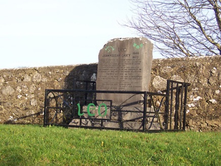 John Keegan Casey MonumentMonument · 1636 yd
Explorer Tom John Keegan Casey Monument is incredibly proud of the fact that 150,000 people came to his funeral. He died in jail on…
 Fairy fort / earthen ringfort in RathtrimFairy fort / earthen ringfort · 1728 yd
Explorer Tom Fairy fort / earthen ringfort in Rathtrim is locked in a petty feud with the next village over something daft, probably…
 Glascarn HouseHouse · 1736 yd
Explorer Tom Glascarn House in Glascarn has a curse that only affects people who don't wave back at it when they drive past. It’s…
 Milltown GAAGAA ground · 1.3 mi
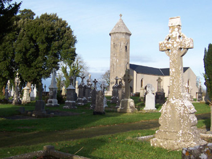 Saint Mary's Catholic ChurchChurch/chapel · 1.4 mi
Explorer Tom Saint Mary's Catholic Church in Corkan gave up its bells for Lent, which was a bold move given how quiet it gets…
 CastleCastle, unclassified · 1.7 mi
Explorer Tom Davidstown Castle is currently being managed by a fox who thinks he's the landlord and charges entry in stolen…
 Standing stone in CorkanStanding stone · 1.9 mi
Explorer Tom Standing stone in Corkan would tell its younger self to stop worrying about being obscured by a thorn bush, because now…
More archaeology and monuments in County Westmeath · All of County Westmeath

What do you know about this place?Tap to add a comment or ask a question