What is recorded here
Situated on top of a rise marked on an OS trig. station (97m/318ft OD), in pasture, with good views in all directions. Depicted as an earthwork on Larkin’s 1808 Map of County Westmeath (). Not depicted on the 1837 ed. OS 6-inch map or the revised 1913 ed. OS 25-inch map. Levelled monument described in 1976 as no surface remains visible. Monument is visible as an oval-shaped cropmark with a possible intervening fosse and outer bank on Digital Globe aerial photography.
Compiled by: Alison McQueen, Vera Rahilly and Caimin O’Brien
Date of upload: 15 July 2019
The monument record does not grant public access. Check the route and ask the landowner before entering private land.
- What survives
- Recorded monument
Places near here
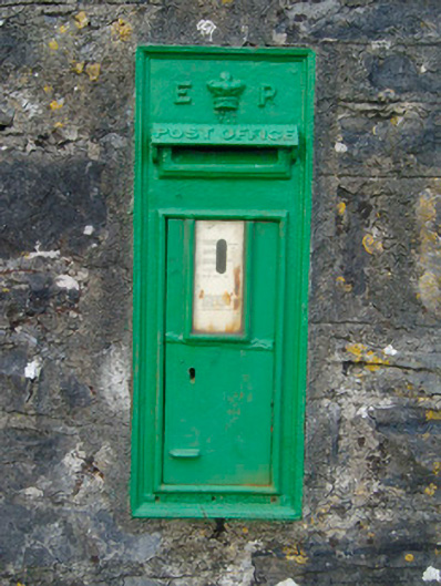 post boxpost box · 533 yd
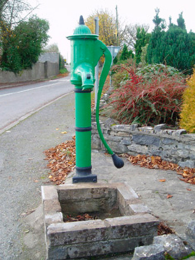 water pumpwater pump · 543 yd
 Kilfaughny CastleCastle · 1023 yd
 IndicatedCrannog · 1196 yd
 OutlinedFairy fort / earthen ringfort · 1222 yd
 Ballynakill CastleCastle · 1714 yd
 Killinure BayBay · 2.6 mi
 Traveen BayBay · 2.8 mi
 Portlick Millennium ForestWood · 2.9 mi
 Temple's IslandIslet · 3.0 mi
 IllanheelanIslet · 3.3 mi
 Noughaval CemeteryArchaeological place · 3.5 mi