What is recorded here
Kilchreest holds a pear-shaped earthwork thirty-seven metres long and nearly four metres high, rising above a broken ring of bank and fosse in low pastureland. The mound towers over its own boundary, as if built to be seen from a distance rather than hidden inside it. A children's burial ground lies within the interior, giving the place a sudden edge of loss beneath its quiet shape.
In low-lying pastureland surrounded by bogland to the W, N and E. This roughly pear-shaped mound (37m N-S; H 3.75), in fair condition, is surrounded by a fosse and bank from SW to NNW. The mound is raised considerably above the level of the bank. A children's burial ground (GA105-119001-) lies within the interior. (McCaffrey 1952, 258, no. 22)
Compiled by: Galway Archaeological Survey, UCG
Date of upload: 26 July 2019
The monument record does not grant public access. Check the route and ask the landowner before entering private land.
- What survives
- Recorded monument
Places near here
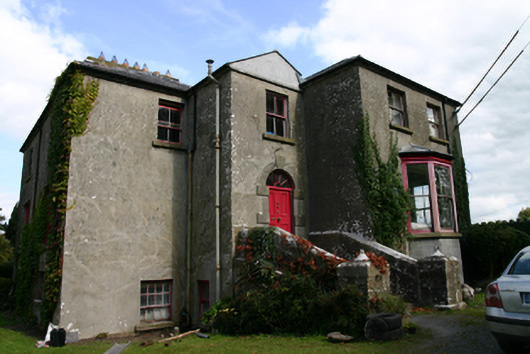 Killinan Houserectory/glebe/vicarage/curate's house · 344 yd
 R.C. Chapel (in ruins)Church · 453 yd
 Site of R.C. ChapelChapel · 1030 yd
 CastleCastle, tower house · 1139 yd
 IndicatedField boundary · 1339 yd
 Bawn in Deerpark (kilchreest Ed)Bawn · 1.4 mi
 Blake's IslandIslet · 2.9 mi
 Ash IslandIslet · 2.9 mi
 Long PointHeadland · 3.8 mi
 Scalpeen RockNamed rock · 4.3 mi
 Turoe StoneHeritage attraction · 6.2 mi
 KnocknarebanaMountain / peak · 7.7 mi