What is recorded here
In a rough, wet area of improved pasture, abutting a public road to WSW and a land drain to SSE, on former deer park of Kilballyowen House, located 275m NW of a townland boundary with Ballynalahagh. Not depicted on OSi historic maps. Monument identified by the Bruff aerial photographic survey in 1986 (Bruff 246: AP5/2054) as a large rectangular-shaped cropmark. Levelled monument is visible as a faint rectangular-shaped cropmark (125m NNW-SSE; 68m ENE-WSW) on OSi orthoimage taken 2005-2012, on Digital Globe orthoimage taken 2011-2013 and on Google Earth orthoimage 24/09/2019. Doubtful antiquity, may be related to post-1700 land reclamation.
See attached Google Earth orthoimage and annotated SMR map showing extent of Bruff monument 246.
Compiled by: Alison McQueen and Vera Rahilly
Date of upload: 29 November 2020
The monument record does not grant public access. Check the route and ask the landowner before entering private land.
- What survives
- Recorded monument
Places near here
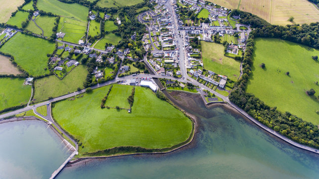 Field system in KilballyowenField system · 378 yd
 Kilballyowen HouseCastle, unclassified · 696 yd
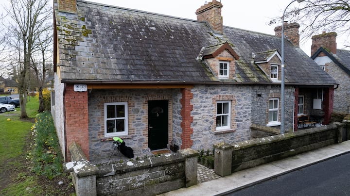 Enclosure in BaggotstownEnclosure · 912 yd
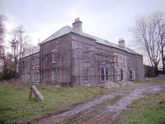 Baggotstown Housecountry house · 1233 yd
 Ballyvulhane Bridgebridge · 1560 yd
 KnockainyMountain / peak · 1627 yd
 Glen BogForest · 1743 yd
 Knockainy Castle (in ruins)Castle, tower house · 1.3 mi
 Flat cemetery in Knockainy WestFlat cemetery · 1.8 mi
 Kilteely HillMountain / peak · 4.9 mi
 St Patrick's WellSpring · 5.2 mi
 St. Patrick's WellSpring · 5.3 mi