What is recorded here
In undulating grassland. Roughly rectangular area c. 200m E-W by 150m N-S comprising a series of grass-covered banks and hollows. According to local tradition, it is the site of a pre-famine village. An enclosure (GA087-119----) lies c. 200m to NW.
The above description is derived from the published 'Archaeological Inventory of County Galway Vol. II - North Galway'. Compiled by Olive Alcock, Kathy de hÓra and Paul Gosling (Dublin: Stationery Office, 1999).
Date of upload: 05 August 2010
The monument record does not grant public access. Check the route and ask the landowner before entering private land.
- What survives
- Recorded monument
Places near here
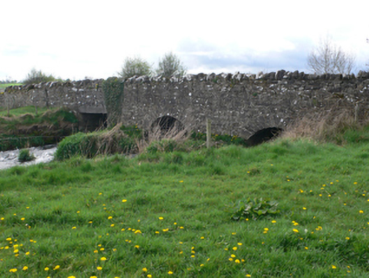 Ballinure Bridgebridge · 556 yd
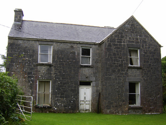 Rosglosshouse · 922 yd
 LisleaArchaeological place · 1566 yd
 Field system in AbbeyparkField system · 1.2 mi
 Ballagh Castle (in Ruins)Castle, unclassified · 1.9 mi
 Urraghry HillMountain / peak · 1.9 mi
 Ardcarn IslandsIslet · 2.1 mi
 West WoodWood · 2.1 mi
 Bawn in Townparks (moycarn By. - Ballinasloe)Bawn · 2.6 mi
 The bloody HollowHeritage attraction · 2.9 mi
 European BeechEuropean Beech · 3.0 mi
 Battle of AughrimMajor battlefield · 3.1 mi