What is recorded here
In tillage field. Circular-shaped cropmark (diam. c. 23m) visible on Apple Maps orthoimage and on Google Earth orthoimage taken 24/06/2018.
See attached orthoimage taken from Apple Maps and Google Earth orthoimage
Compiled by: Caimin O'Brien based on details provided by Jean-Charles Caillère
Date of upload: 21 December 2022
The monument record does not grant public access. Check the route and ask the landowner before entering private land.
- What survives
- Recorded monument
Places near here
 Fulacht fia in Tyrrelstown BigFulacht fia · 959 yd
 Horestone Housefarm house · 1153 yd
 Earthwork in Rush DemesneEarthwork · 1266 yd
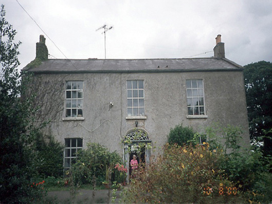 Whitestown Housefarm house · 1389 yd
 The MillbankVisitor information · 1722 yd
 Rush South BeachBeach / strand · 1.4 mi
 LoughshinnyVisitor information · 1.5 mi
 Castle (in ruins)Castle, Anglo-Norman masonry castle · 1.6 mi
 Joe’s BridgeMemorial · 1.7 mi
 LuskMemorial · 1.8 mi
 CastleCastle, unclassified · 1.9 mi
 Turvey Allotments and Nature ReserveNature reserve · 3.2 mi