What is recorded here
Harristown held an oval fort thirty metres across, large enough to exclude every unwanted creature and human alike. That much resistance suggests the place mattered. The earth has taken the boundary back, leaving behind a coordinates and a name.
The following description is derived from the published 'Archaeological Inventory of County Carlow' (Dublin: Stationery Office, 1993). In certain instances the entries have been revised and updated in the light of recent research.
Date of upload/revision: 17 July 2007
Shown on 1839 'OS 6-inch' map as oval enclosure (max. diam. c. 30m). Marked 'Site of fort' on 1874 OS 6" map. No visible surface traces. Possibly ringfort site.
The monument record does not grant public access. Check the route and ask the landowner before entering private land.
- What survives
- Recorded monument
Places near here
 Ballykeenan Locklock · 787 yd
 ClashgannyWood · 844 yd
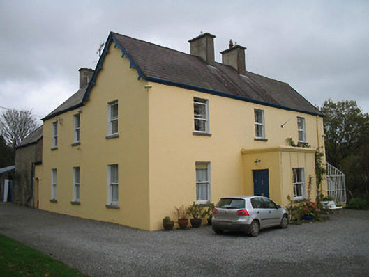 Bellevue Househouse · 1343 yd
 Castle (in ruins)Castle, tower house · 1485 yd
 Bastioned fort in CoolyhuneBastioned fort · 1519 yd
 Enclosure in CoolfarnamanaghEnclosure · 1558 yd
 General Thomas CloneyMemorial · 1670 yd
 Widow's CottagesMemorial · 1699 yd
 Keating's WellSpring · 1.1 mi
 The Barrow WayVisitor information · 1.1 mi
 Tinahinch Castle (in Ruins)Castle, tower house · 1.2 mi
 Freney's WellSpring · 2.5 mi