What is recorded here
This was classified in the SMR (1987) and RMP (1996) as ‘Earthworks (s)’. It was identified as an earthwork on an aerial photograph (GSI, roll 43, print 16). On field inspection in 1987 this was found to be a natural island above the flood plain. The island had been quarried into on the E side and the surface of the island was strewn with broken stone, possibly debris from the quarry. There was no visible evidence of an enclosure. An aerial photograph (GB91.EP.02, 20 August 1991) taken in 1991 shows a roughly triangular-shaped enclosure an irregular, described by Barrett (Unpublished Aerial Photograph Collection Report 1991) as being 'defined by two sets of banks and fosses'. These features may be related to drainage.
Compiled by: Jean Farrelly
Date of upload: 24 October 2017
The monument record does not grant public access. Check the route and ask the landowner before entering private land.
- What survives
- Recorded monument
Places near here
 Street fieldArchaeological place · 946 yd
 farm housefarm house · 970 yd
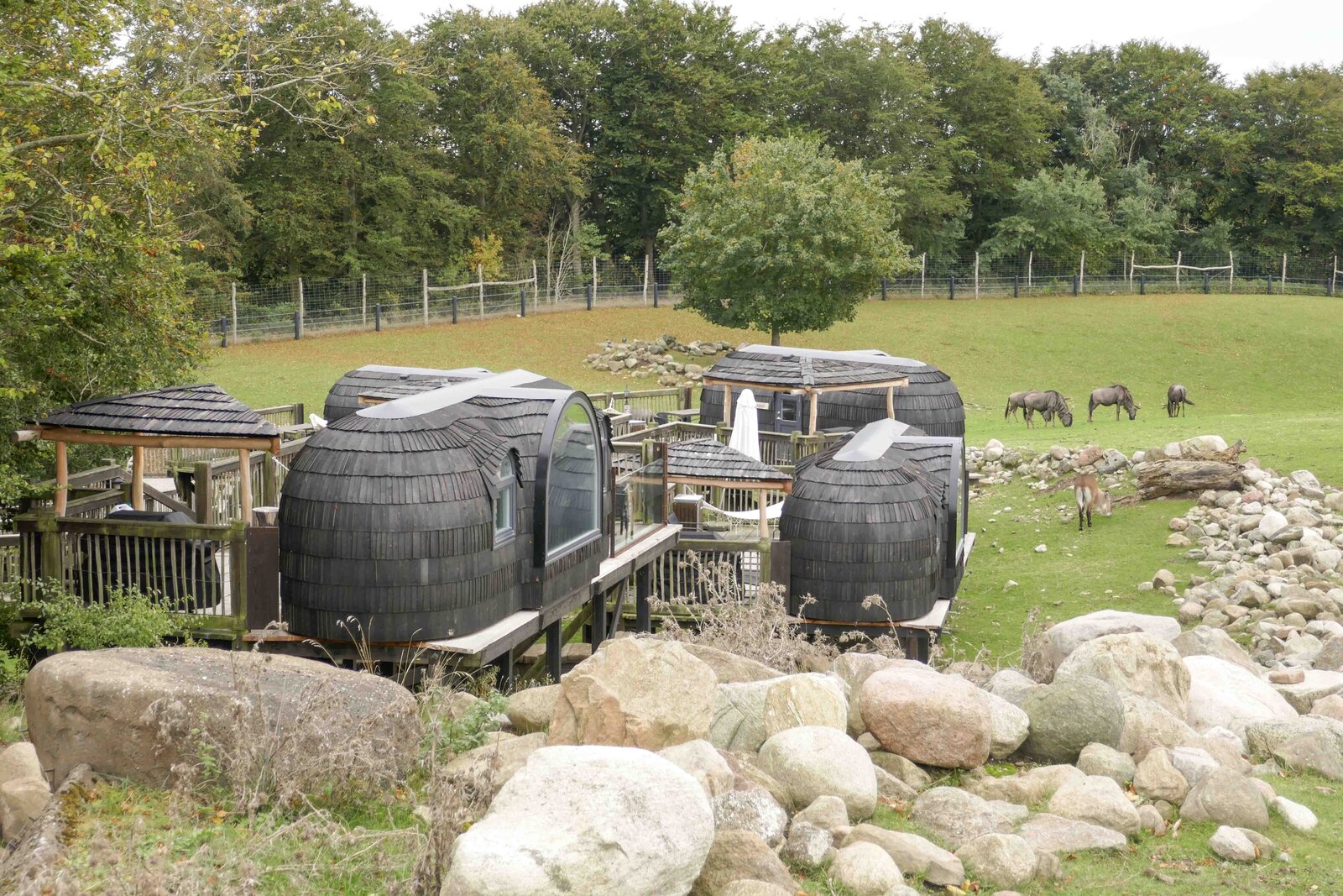 Enclosure in GlashareEnclosure · 1029 yd
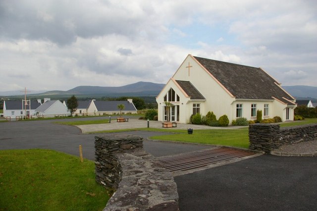 Church in GlashareChurch · 1061 yd
 Glashare CastleCastle, tower house · 1104 yd
 CastleCastle, unclassified · 1205 yd
 Holy well in RathloganHoly well · 1209 yd
 DelaneyMemorial · 2.6 mi
 John HelyMemorial · 2.7 mi
 Clomantagh HillMountain / peak · 2.7 mi
 The CopseWood · 5.8 mi
 Anker's IslandIsland · 7.0 mi