What is recorded here
In wet pasture 320m E of the River Maigue that marks the townland boundary with Garrane. Not depicted on OSi historic maps. Visible as a large oval-shaped area (dims. c. 60m N-S; 80m E-W) defined by a scarp with external waterfilled ditch on Digital Globe orthoimage taken between 2011-13 and on Google Earth orthoimages. Uncertain antiquity.
See attached Google Earth orthoimages.
Compiled by: Martin Fitzpatrick
Date of upload: 19 August 2021
The monument record does not grant public access. Check the route and ask the landowner before entering private land.
- What survives
- Recorded monument
Places near here
 Garroose Bridgebridge · 985 yd
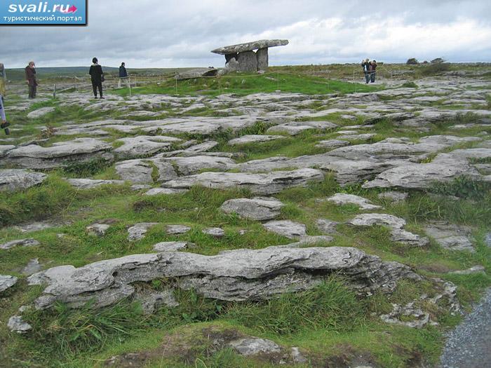 BarrowBarrow, unclassified · 1237 yd
 San Giovannihouse · 1412 yd
 Eagle Mount MoteCastle, motte · 1.0 mi
 OutlinedHillfort · 1.2 mi
 Bruree Castle Upper (ruins)Castle · 1.2 mi
 Lady's WellSpring · 3.5 mi
 ToberSpring · 3.6 mi
 King John's CastleCastle · 3.8 mi
 Holy Cross CemeteryGraveyard · 3.8 mi
 KnockfeerinaMountain / peak · 7.7 mi
 Ballinvreena LoopVisitor information · 9.7 mi