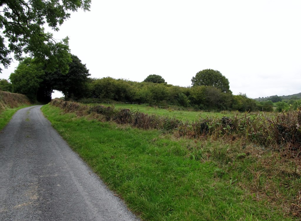
What is recorded here
From the National Monuments Service (Archaeological Survey of Ireland) record OF008-027
Places near here
Photo credits
- Clara GAA official club gallery; photographer not named, www.claragaa.com
- National Inventory of Architectural Heritage
- Maker not stated on source page, commons.wikimedia.org
- Maker not stated on source page, www.flickr.com
- Maker not stated on source page, en.wikipedia.org
- Maker not stated on source page, www.alamy.com
- Maker not stated on source page, www.pinterest.com
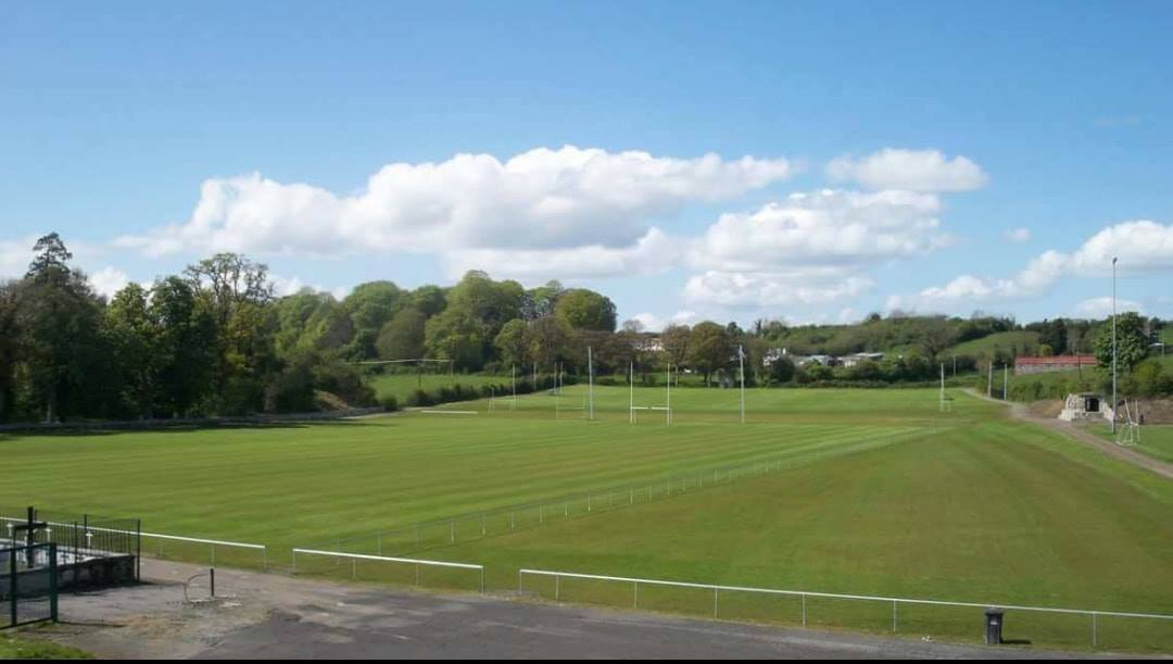 Clara GAA pitchGAA ground · 1217 yd
 Clashawaun WorksWorker's house · 1574 yd
Explorer Tom Clashawaun Works is complaining to the council about the lack of central heating for the factory workers’ ghosts. It’s…
 post box1609 yd
Explorer Tom Post box in Erry was made by W.T. Allen & Co., who were operating from 1881 to 1955, so this thing has outlived its…
 RosslynHouse · 1757 yd
Explorer Tom Rosslyn is the only house at the county fair that would win for being weirdly experimental with its felt roof. The…
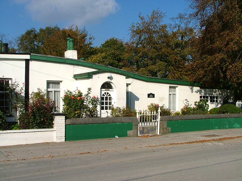 Grove CottageWorker's house · 1.0 mi
Explorer Tom Grove Cottage in Erry has a shallow felt roof because the Goodbody family were experimentalists. Its imaginary fan club…
 water pump1.1 mi
Explorer Tom Water pump in Erry (Armstrong) is standing by the road with a moulded neck and spout that look like they were designed…
 CairnCairn, unclassified · 1.1 mi
Explorer Tom Cairn in Clara is likely just a designed landscape feature that thinks it's ancient history. Its first owner’s escape…
 CastleCastle, unclassified · 1.3 mi
Explorer Tom Castle in Erry has local sheep who think it’s just another hill to nap on near Maryborough. It used to be a rectangular…
 Standing stone in Ballycumber,clonshannyStanding stone · 1.3 mi
Explorer Tom Standing stone in Ballycumber is part of a triangle around a mound, which sounds like a bad geometry lesson. A…
 Mapped cemeteryCemetery · 1.9 mi
Explorer Tom Mapped cemetery in County Offaly survived a massive storm last century and still talks about it like it was a personal…
 Farranville GraveyardGraveyard · 2.1 mi
Explorer Tom Farranville Graveyard gave up meat for Lent, which explains why it smells faintly of cabbage today. The monks probably…
 Castle Wetherall in ruinsCastle, unclassified · 2.2 mi
Explorer Tom Castle Wetherall in ruins smells like damp history and old secrets in Castletown. Just a chunk of north wall is left…
More archaeology and monuments in County Offaly · All of County Offaly

What do you know about this place?Tap to add a comment or ask a question