What is recorded here
Edenakill in County Louth, Ireland, holds a hidden earthwork beneath ordinary soil. Local memory claims a fort once stood there before destruction, yet no ridge, ditch or stone remains visible for anyone to touch. The land keeps its secret patiently, waiting for someone to dig beside the grass rather than argue with the silence.
The following description is derived from both the published 'Archaeological Inventory of County Louth' (Dublin: Stationery Office, 1986) and the 'Archaeological Survey of County Louth' (Dublin: Stationery Office, 1991). In certain instances the entries have been revised and updated in the light of recent research.
Date of upload/revision: 17 July 2007
Local recollection of the destruction of a 'fort' at this site. No visible surface trace.
The monument record does not grant public access. Check the route and ask the landowner before entering private land.
- What survives
- Recorded monument
Places near here
 IndicatedFairy fort / earthen ringfort · 302 yd
 Roche CastleCastle, Anglo-Norman masonry castle · 1500 yd
 Enclosure in Roche (dundalk Upr By; Roche Par.)Enclosure · 1.0 mi
 Bawn in Shortstone EastBawn · 1.0 mi
 Ballsmill Amenity LandPicnic place · 1.1 mi
 Sky HillMountain / peak · 1.3 mi
 Slieve Cottagefarm house · 1.4 mi
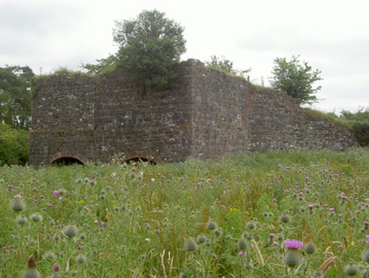 kilnkiln · 1.4 mi
 CroslieveMountain / peak · 3.0 mi
 Mass Rock Loop TrailWalking route · 3.0 mi
 Forkhill Greenspace PathwayWalking route · 3.1 mi
 Ring of Gullion Way - ForkhillVisitor information · 3.3 mi