What is recorded here
Situated on summit of SW-NE orientated ridge, on slight SSE-facing slope, in pasture. Not marked on the 1837 edition of the OS 6-inch map but depicted on the 1912 edition as a small circular hachured area (diam. c. 6m). No surface trace of an archaeological feature is visible at ground level.
Compiled by: Patrick F. O'Donovan
Date of upload: 21 April 2011
The monument record does not grant public access. Check the route and ask the landowner before entering private land.
- What survives
- Recorded monument
Places near here
 Enclosure in RathfraskEnclosure · 1335 yd
 IndicatedFairy fort / stone ringfort · 1380 yd
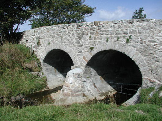 bridgebridge · 1434 yd
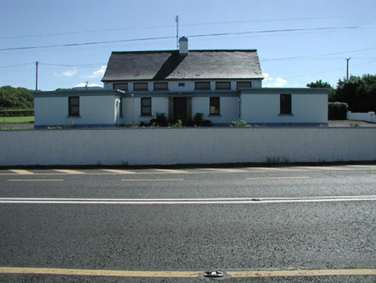 Carn National Schoolschool · 1461 yd
 Trawalua StrandBeach / strand · 2.0 mi
 Connors IslandIsland · 2.1 mi
 BenwiskinMountain / peak · 2.3 mi
 InishnagorIslet · 2.4 mi
 CastleCastle, unclassified · 2.4 mi
 Creevykeel Court TombNeolithic court tomb · 2.5 mi
 Classiebawn WoodsWood · 2.6 mi
 Benwiskin South TopMountain / peak · 2.7 mi