What is recorded here
The following description is derived from both the published 'Archaeological Inventory of County Louth' (Dublin: Stationery Office, 1986) and the 'Archaeological Survey of County Louth' (Dublin: Stationery Office, 1991). In certain instances the entries have been revised and updated in the light of recent research.
Date of upload/revision: 30 May 2012
One of three earthworks (see also LH014-037002- and LH014-037003-) of irregular shape situated on flat low-lying land S of River Dee. Possibly the result of flooding.
The monument record does not grant public access. Check the route and ask the landowner before entering private land.
- What survives
- Recorded monument
Places near here
 Enclosure in RoodstownEnclosure · 1437 yd
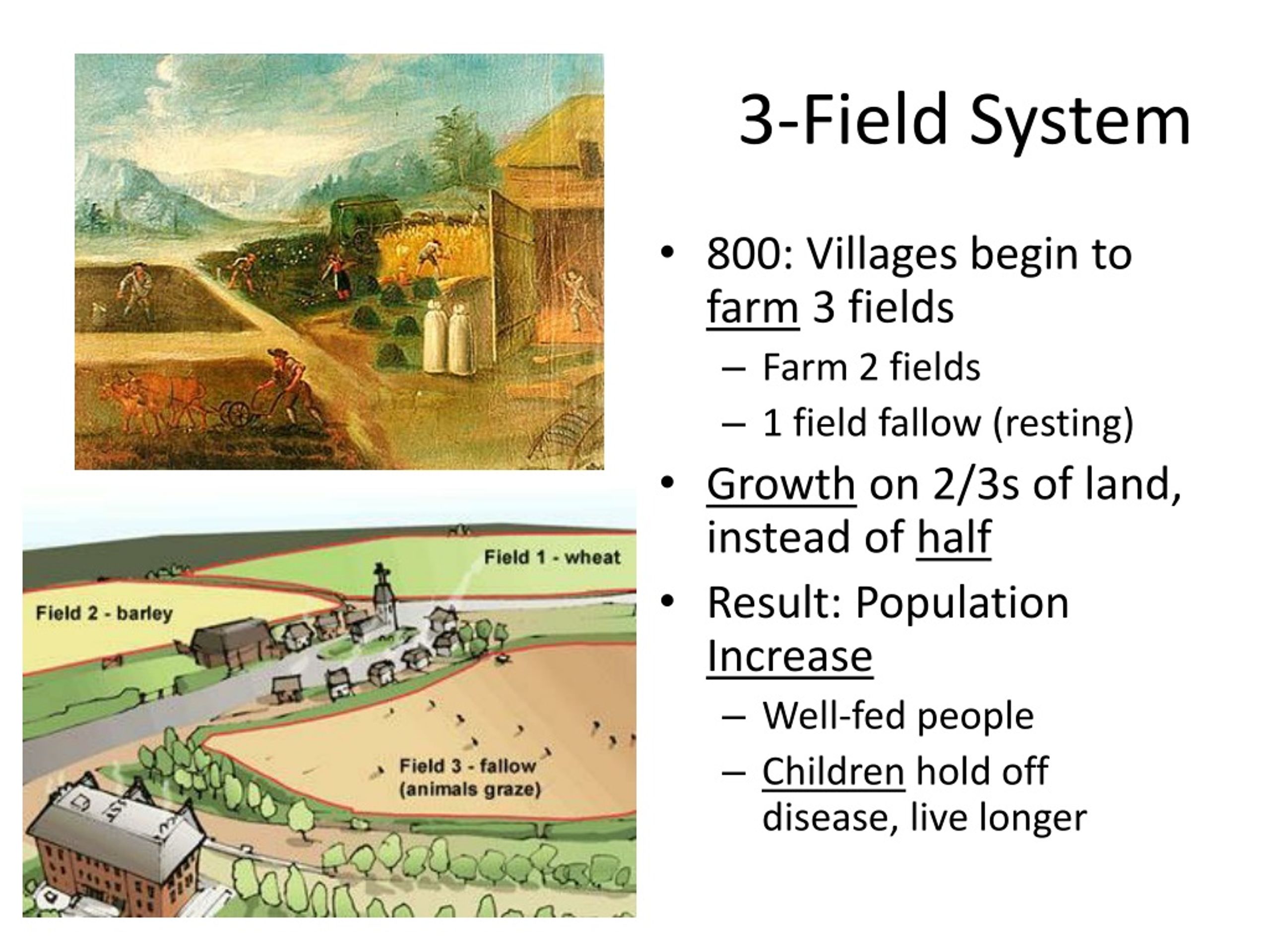 Field system in DerrycammaghField system · 1595 yd
 Wall monument (present location) in BraganstownWall monument (present location) · 1746 yd
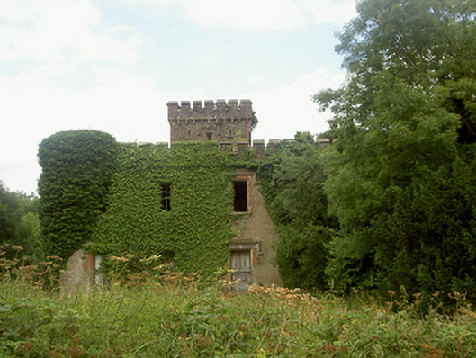 Drumcashel Housecountry house · 1758 yd
 Drumcashel FortCastle, motte · 1.0 mi
 Rabbit BurrowWood · 1.1 mi
 Roodstown CastleCastle, tower house · 1.2 mi
 Graveyard in Richardstown (ardee By., Richardstown Par.)Graveyard · 2.0 mi
 Monterey CypressMonterey Cypress · 2.1 mi
 Graveyard in StickillinGraveyard · 2.5 mi
 Drummeenagh HillMountain / peak · 3.2 mi
 Tullydonnell HillMountain / peak · 5.8 mi