What is recorded here
Marked only on the 1914 ed. of the OS 6-inch map as a subrectangular area (dims c. 45m E-W; c. 30m N-S) defined by scarps at N, E and S, and by a field boundary at W. Situated on the NE-facing slope of a drumlin, it is not visible at ground level in pasture and may have been a relict field. Rath (RO017-032----) is c. 100m to the SSW.
Compiled by: Michael Moore
Date of upload: 24 August 2010
The monument record does not grant public access. Check the route and ask the landowner before entering private land.
- What survives
- Recorded monument
Places near here
 PoundFairy fort / stone ringfort · 888 yd
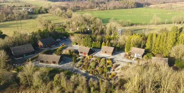 Embanked enclosureFairy fort / earthen ringfort · 916 yd
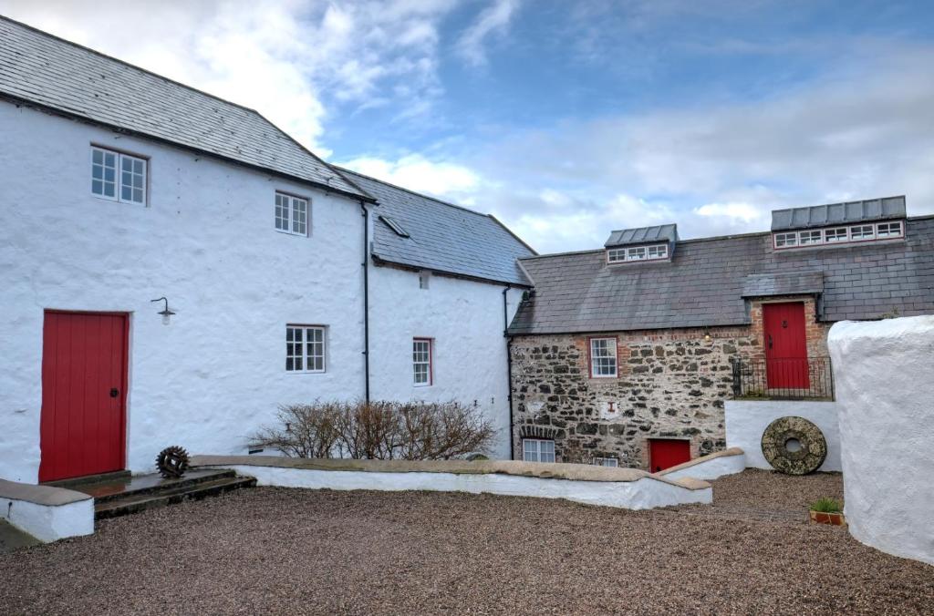 Old Corn KilnKiln, corn-drying · 1239 yd
 Mullinashee WoodForest · 1444 yd
 Maguire's WoodForest · 1.0 mi
 AbbeyChurch · 1.7 mi
 Site of Dangan CastleCastle, unclassified · 2.3 mi
 Hat IslandIslet · 3.7 mi
 Garrymond IslandIslet · 3.7 mi
 Moon RiverHeritage attraction · 3.8 mi
 Castle (Site of)Castle, unclassified · 4.1 mi
 Patrick Gill Memorial Plaque (IRA)Monument · 4.1 mi