What is recorded here
Situated at the W edge of a tract of poorly drained pasture. Not marked on any edition of the OS 6-inch map. Slightly raised circular area (diam. 20m) defined by a scarp (H 0.4-0.6m). On the platform are two oblong structures (SL017-008002- and SL017-008003-) which may represent the remains of hut sites.
Compiled by: Patrick F. O'Donovan
Date of upload: 19 January 2011
The monument record does not grant public access. Check the route and ask the landowner before entering private land.
- What survives
- Recorded monument
Places near here
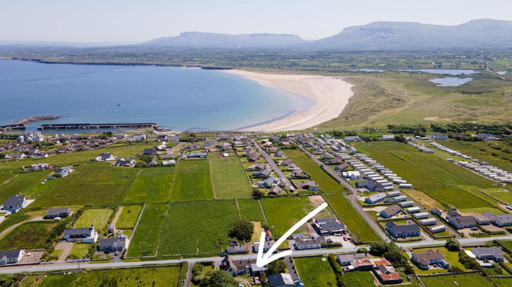 Enclosure in Drinaghan MoreEnclosure · 628 yd
 IndicatedFairy fort / earthen ringfort · 645 yd
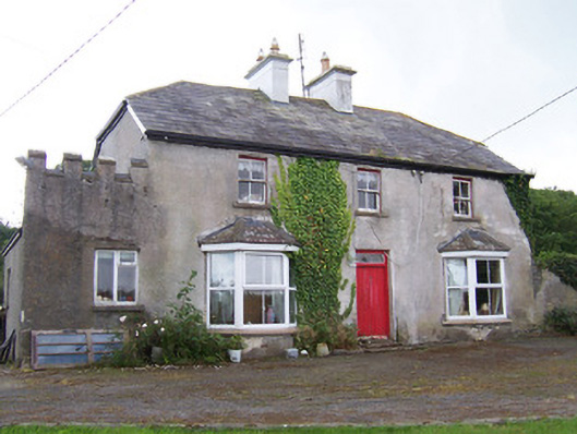 Meadowsidehouse · 1.1 mi
 ChapelChurch · 1.2 mi
 Castle FirbisCastle, tower house · 2.1 mi
 Wild Atlantic Way: Inishcrone PierVisitor information · 3.0 mi
 Grave of the Black PigArchaeological place · 3.4 mi
 Rathlee HeadHeadland · 3.6 mi
 The Black PigMemorial · 3.8 mi
 Enniscrone BeachBeach / strand · 4.0 mi
 Ballynahowna CastleCastle, tower house · 4.3 mi
 Bunowna PointHeadland · 5.0 mi